What is recorded here
Yes. An underground chamber in Ballynadrideen has collapsed into a shallow depression at the centre of a ringfort. A broken stone still lies exposed where a roof once spanned the passage. The chamber may have hidden people, tools or memory from storms and hostile visitors. Its disappearance did not erase the purpose; it returned the chamber to the earth while leaving behind a shape that still points downward.
In centre of ringfort (CO007-05401-). Depression (2m x 2.5m; D 0.3m) with partially exposed stone, possibly a roofing lintel, may indicate collapsed Man-made underground passage.
The above description is derived from the published 'Archaeological Inventory of County Cork. Volume 4: North Cork' (Dublin: Stationery Office, 2000). In certain instances the entries have been revised and updated in the light of recent research.
Date of upload/revision: 14 January 2009
The monument record does not grant public access. Check the route and ask the landowner before entering private land.
- What survives
- Recorded monument
Places near here
 ExcavationExcavation, miscellaneous · 218 yd
 Burial Ground (Private)Graveyard · 571 yd
 Eglis a Dridin (in Ruins)Church · 593 yd
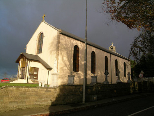 Saint Mary's Roman Catholic Churchchurch/chapel · 1275 yd
 CastleCastle, motte · 1474 yd
 Castle Harrison on Site of Castle (19*Castle, unclassified · 1.5 mi
 CarrigeenMountain / peak · 2.6 mi
 Ballyhoura WayWalking route · 2.7 mi
 Holy Cross CemeteryGraveyard · 2.7 mi
 BallinaboolaVisitor information · 3.0 mi
 Windmill HillMountain / peak · 3.2 mi
 Rogan's Rock CovertWood · 4.2 mi