What is recorded here
Two narrow hollows pierce the rath at Ballybaun, one in the north and one in the south, as if the earth were cut for a hidden route rather than left to chance. The northern channel stretches about eight metres and measures two and a half across, aligned from northeast to southwest. It may have been a passage, a drainage cut, or a forgotten way through the mound. Whoever made it understood the shape of the place and left a line the eye can still follow.
Within the N sector of the interior of a rath (GA097-007003-). A linear hollow (L c. 8m; Wth 2.5m), aligned NE-SW, may be the remains of a possible Man-made underground passage. There is another Man-made underground passage (GA097-007001-) in the S sector.
Compiled by: Galway Archaeological Survey, UCG
Date of upload: 13 October 2016
The monument record does not grant public access. Check the route and ask the landowner before entering private land.
- What survives
- Recorded monument
Places near here
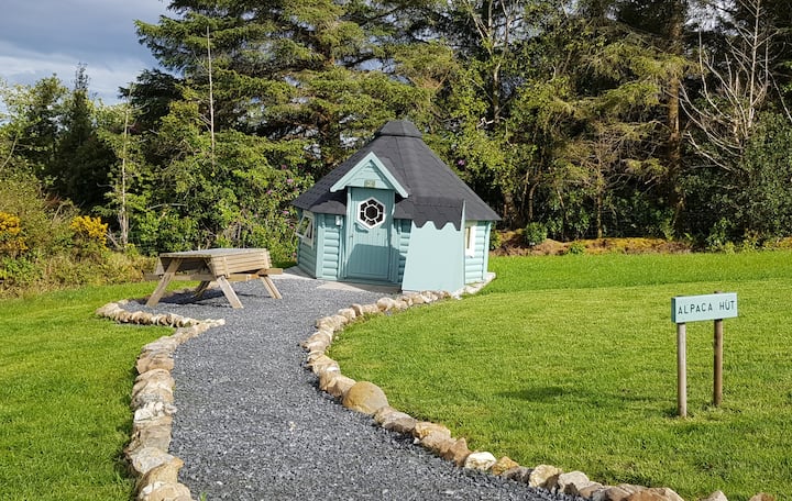 Hut site in Ballybaun (lackalea Ed)Hut site · 1 yd
 IndicatedFairy fort / earthen ringfort · 475 yd
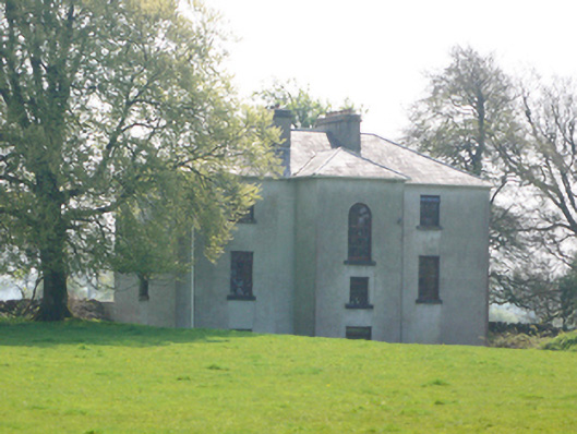 Lynchfort Househouse · 1148 yd
 Bawn in Cahernamuck WestBawn · 1544 yd
 Quarry in CaherhenryhoeQuarry · 1578 yd
 Raruddy Castle (in ruins)Castle, tower house · 1.5 mi
 Turoe StoneHeritage attraction · 1.5 mi
 Barrack IslandIslet · 3.0 mi
 Middle IslandIslet · 3.1 mi
 Long PointHeadland · 3.9 mi
 Dartfield Horse MuseumHeritage attraction · 4.8 mi
 Moyard WoodWood · 5.2 mi