
What is recorded here
Clear water and living memory belong to the area, while the formal camera guide asks for an exact visible canvas. You can use that distinction to leave the request alive instead of forcing it into a false completed shape.
The following description is derived from both the published 'Archaeological Inventory of County Louth' (Dublin: Stationery Office, 1986) and the 'Archaeological Survey of County Louth' (Dublin: Stationery Office, 1991). In certain instances the entries have been revised and updated in the light of recent research.
Date of upload/revision: 17 July 2007
Circular area (int. diam. 25m) enclosed by earth and boulder bank (Wth 2.6m, H 0.4m internally, 0.9m-1.5m externally) with possible entrance at SSE. Possible hut site (LH008-035003-) (int. diam. 2m) WNW of centre consisting of a drystone masonry wall (Wth 1.15m, H 0.2-0.4m) with entrance gap at W, where the walls bend outwards. This appears to be the feature marked 'Man-made underground passage' on the 1938-9 OS 6-inch map. Tradition of 'cave' (LH008-035002-) having been found at site.
The monument record does not grant public access. Check the route and ask the landowner before entering private land.
- What survives
- Recorded monument
Places near here
 Mass-rock in AnnaloughanMass-rock · 401 yd
 Rockmarshall Court TombArchaeological place · 750 yd
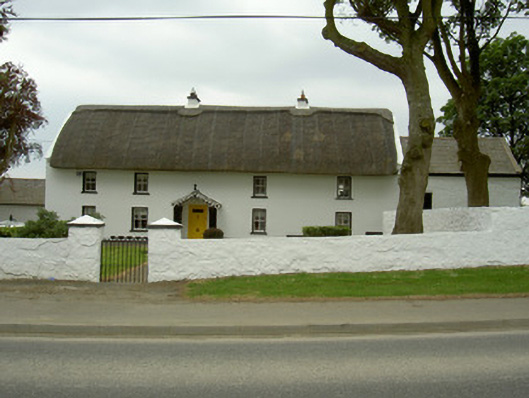 Rampark Farmhousehouse · 1070 yd
 SlievenagloghMountain / peak · 1345 yd
 Annaloughan MountainMountain / peak · 1510 yd
 Saint Mary's Catholic Churchchurch/chapel · 1604 yd
 IndicatedBawn · 1.4 mi
 Mount Bagnell FoerCastle, motte and bailey · 2.0 mi
 Soldiers' PointHeadland · 2.9 mi
 The BushPicnic place · 3.4 mi
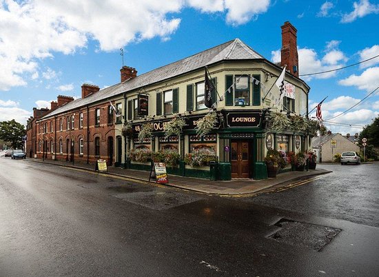 TSS DundalkMemorial · 3.5 mi
 Proleek DolmenArchaeological place · 3.6 mi
Other information
Photo: Credit not shown in the picture search · Rights wording not checked; contact us if this picture should be removed