What is recorded here
Embanked enclosure is a fairy fort or ringfort in Lyre East (coshmore and Coshbride By.), County Waterford, Ireland. The 1840 edition of the Ordnance Survey six-inch map marked a circular embanked enclosure with an external diameter of about 55 metres. That same account placed the site in pasture on a north-facing slope at the edge of a ravine to the north and recorded that it was not visible at ground level during the observation that formed the account.
Marked as a circular embanked enclosure (ext. diam. c. 55m) on the 1840 ed. of the OS 6-inch map. Situated in pasture on a N-facing slope at the edge of a ravine to N, it is not visible at ground level.
The above description is derived from the published 'Archaeological Inventory of County Waterford' (Dublin: Stationery Office, 1999). In certain instances the entries have been revised and updated in the light of recent research.
Date of upload: 27 August 2009
The monument record does not grant public access. Check the route and ask the landowner before entering private land.
- What survives
- Recorded monument
Places near here
 Glenshelane WoodsForest · 315 yd
 WaterfallViewpoint · 371 yd
 Glenshelanehouse · 973 yd
 Glenshelane Red WalkWalking route · 1184 yd
 IndicatedHoly well · 1657 yd
 TombBurial ground · 1723 yd
 Cappoquin Ho.Castle, unclassified · 1.2 mi
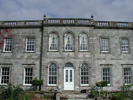 Cappoquin Housecountry house · 1.2 mi
 Sweet ChestnutSweet Chestnut · 1.3 mi
 Crow HillMountain / peak · 1.6 mi
 Coillte infoboardVisitor information · 1.6 mi
Other information
Photo: Credit not shown in the picture search · Rights wording not checked; contact us if this picture should be removed