
What is recorded here
Detached two-bay single-storey over part basement house with half-dormer attic, c.1825, with single-bay single-storey side elevations having single-bay single-storey bowed bay to south, and single-bay single-storey return to east. Renovated and extended, c.1900, comprising two-bay single-storey wing to north with two-bay single-storey lean-to open veranda to front (west), and single-bay single-storey gabled canted bay window added to front (west) to original block. Pitched slate roofs (gabled to half-dormer attic and to canted bay window; half-conical to bow) with clay ridge tiles, rendered chimney stacks, timber bargeboards, and replacement uPVC rainwater goods, c.2000, on rendered eaves (slightly overhanging to bowed bay) retaining early cast-iron downpipes. Lean-to glazed roof to veranda in iron frame on cast-iron pillars having decorative brackets. Painted rendered walls. Square-headed window openings. 3/6 and 6/6 timber sash windows. Square-headed door opening with cut-limestone step, rendered panelled surround having archivolt, and replacement glazed timber door, c.1975, with fanlight. Interior with timber panelled shutters to window openings. Set back from road in own grounds with gravel forecourt, and landscaped grounds to site.
A picturesque, modest-scale house, built by Sir John Keane (n. d.), incorporating distinctive features, including a gabled canted bay window, and a prominent bowed bay, which enhance the architectural value of the composition. Reasonably well maintained, the house retains most of its original form and early fabric, both to the exterior and to the interior. Positioned on a slightly elevated site overlooking the Glenshelane River, the house forms an appealing feature in the locality.
This does not grant access. Most recorded buildings are privately owned; view them only from public ground unless the owner allows entry.
Places near here
 Glenshelane WoodsWood · 321 yd
 Glenshelane Red WalkWalking route · 617 yd
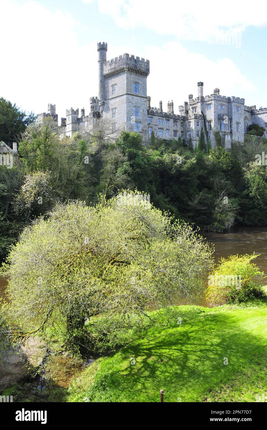 Embanked enclosureFairy fort / ringfort · 973 yd
 WaterfallViewpoint · 1291 yd
 IndicatedHoly well · 1614 yd
 Coillte infoboardVisitor information · 1.1 mi
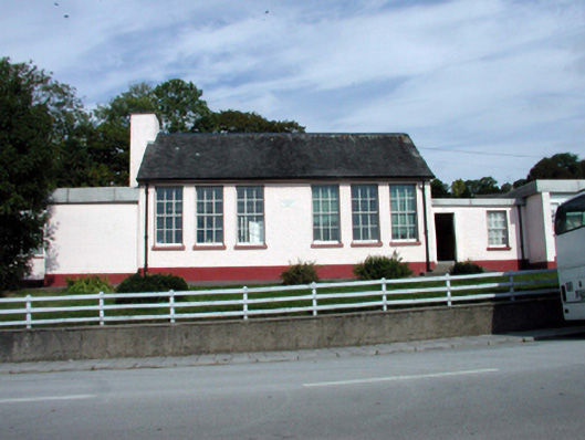 Scoil Náisiúnta Ceapach Chuinnschool · 1.1 mi
 Cappoquin Ho.Castle, unclassified · 1.2 mi
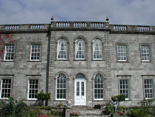 Cappoquin Housecountry house · 1.2 mi
 Sweet ChestnutSweet Chestnut · 1.2 mi
 Crow HillMountain / peak · 1.8 mi
Other information
Photo: National Inventory of Architectural Heritage · Website use allowed for educational or private purposes with source credit