What is recorded here
Condon found the Lyradane stone in 1916, leaning like a tired servant rather than standing proud. It measured twenty-eight inches high, twenty-three wide and ten thick, yet it vanished before the 1938 survey and left no scar on the western pasture. The land keeps its own counsel, taking back what it stops wanting to show.
Not shown on 1842, 1904 and 1938 OS 6-inch maps. In pasture, on W-facing slope. Removed; no visible surface trace. Recorded by Condon (1916, 71, no. 34) as'....inclining to the ground. It is 28 inches high, 23 inches wide, and 10 inches thick'.
The above description is derived from the published 'Archaeological Inventory of County Cork. Volume 3: Mid Cork' (Dublin: Stationery Office, 1997). In certain instances the entries have been revised and updated in the light of recent research.
Date of upload/revision: 14 January 2009
The monument record does not grant public access. Check the route and ask the landowner before entering private land.
- What survives
- Recorded monument
Places near here
 Lyradane MountainMountain / peak · 558 yd
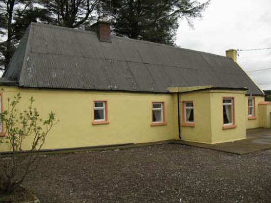 farm housefarm house · 1474 yd
 Rock HillMountain / peak · 1.2 mi
 Grave Yard (Disused)Graveyard · 1.2 mi
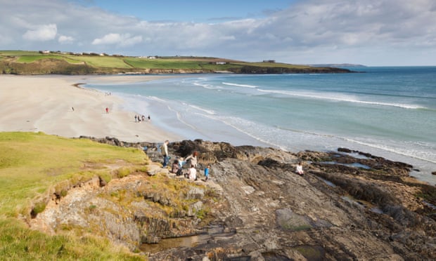 Mound in Kilquane (barretts By.)Mound · 1.3 mi
 Castle (Site of)Castle, Anglo-Norman masonry castle · 1.6 mi
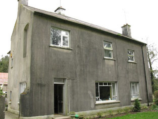 Davis Castlehouse · 1.7 mi
 Ballyvodane Castle (in Ruins)Castle, unclassified · 3.6 mi
 Pairc Ath Na hEornaMemorial · 4.0 mi
 New TipperaryVisitor information · 4.1 mi
 St John's WellSpring · 4.4 mi
 Graveyard in KilmonaGraveyard · 4.5 mi