What is recorded here
Lurgankeel in County Louth, Ireland, is a wooden tower and timber palisade on a motte, buried until excavation in 1964. It may have watched a road, a field, a coast path or a claim to land. The chamber is gone, but the shape of its warning remains: small, elevated, defended, and proud enough to be built at all.
The remains of a wooden tower surrounded by a palisade of timber posts and earth located on top of motte (LH004-053001-) were discovered during excavation by the OPW in 1964. (Oibre no. 2 (1965), 22)
Compiled by: Claire Breen
Date of upload: 17 November 2011
The monument record does not grant public access. Check the route and ask the landowner before entering private land.
- What survives
- Recorded monument
Places near here
 TumulusCastle, motte and bailey · 20 yd
 Megalithic StructureWedge tomb · 292 yd
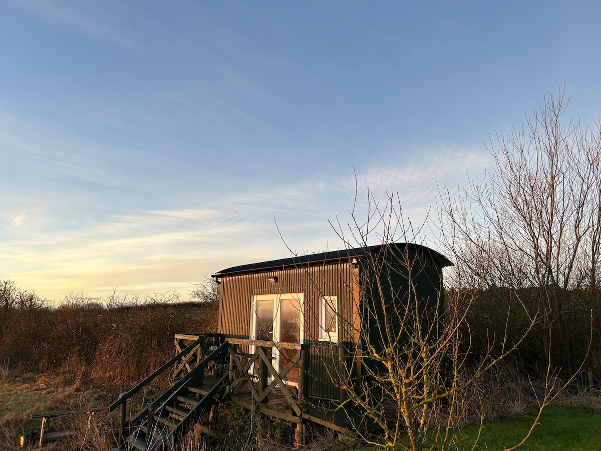 Hut site in CarrickedmondHut site · 783 yd
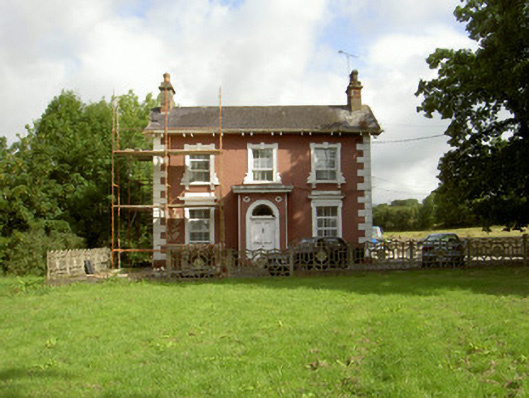 Millbrook Housemiller's house · 1112 yd
 Saint Brigid's Catholic Churchchurch/chapel · 1121 yd
 Balregan CastleCastle, tower house · 1.0 mi
 MonascreebeMountain / peak · 1.6 mi
 Sky HillMountain / peak · 1.7 mi
 Battle of FaughartMajor battlefield · 2.2 mi
 Forkhill Greenspace PathwayWalking route · 2.4 mi
 Ring of Gullion Way - ForkhillVisitor information · 2.5 mi
 Ballsmill Amenity LandPicnic place · 2.7 mi