What is recorded here
Lougherbraghy is a small earthen mound beside a curving Donegal stream, still called a children's burial ground. It rises one and a half metres above the cultivated bank, narrow enough to walk across in moments, yet large enough to hold several small lives. The clarity of that shape makes the loss easier to imagine: a family, a village, or a passing season in which children died and were laid together beside water.
An earthen mound 1.75m high and 7.3m E-W and 6.3m N-S is known locally as a children's burial ground. It is situated on the N bank of a curve of a stream in cultivated land.
The above description was derived from the 'Archaeological Survey of County Donegal. A description of the field antiquities of the County from the Mesolithic Period to the 17th century.' Compiled by: Brian Lacey with Eamon Cody, Claire Cotter, Judy Cuppage, Noel Dunne, Vincent Hurley, Celie O'Rahilly, Paul Walsh and Seán Ó Nualláin (Lifford: Donegal County Council, 1983). In certain instances the entries have been revised and updated.
Date of upload: 22 September 2008
The monument record does not grant public access. Check the route and ask the landowner before entering private land.
- What survives
- Recorded monument
Places near here
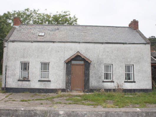 farm housefarm house · 1.4 mi
 Crannoge FortFairy fort / earthen ringfort · 1.5 mi
 Castle FortEnclosure · 2.3 mi
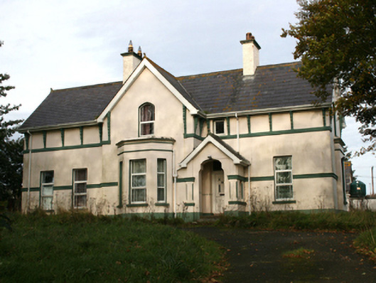 rectory/glebe/vicarage/curate's houserectory/glebe/vicarage/curate's house · 2.6 mi
 Lag GraveyardGraveyard · 3.5 mi
 Wee House of Malin CaveCave · 3.9 mi
 CastleCastle, unclassified · 4.0 mi
 Five Finger StrandBeach / strand · 4.0 mi
 Doagh Famine VillageMuseum · 4.3 mi
 Dough Famine VillageHeritage attraction · 4.3 mi
 CuldaffOfficial bathing water · 4.6 mi
 Carndonagh Early Church GraveyardGraveyard · 6.1 mi