What is recorded here
Half a kilometre west of the New Town stands a shallow circular hollow, its rim marked only by a thin earth bank and a missing outer edge. The name Fairy fort suggests something hidden or dangerous, yet the shape remains plain: a small enclosed area cut into the hillside. People may have lived there, excluded others, or simply marked the land before written memory. The site preserves the act of drawing a boundary, even if the hands that drew it have disappeared.
Situated on a shelf on the NE-facing slope of the NNW-SSE Carrigawaddy ridge. This is a subcircular grass-covered area (dims 40.5m NW-SE; 36m NE-SW) that slopes down to the E. It is defined by an earth and stone bank with evidence of inner stone facing which is separated by a fosse from a slight outer bank with some bushes that is missing W-ENE. The entrance through the inner (Wth of base 1.5m) bank and a causeway (Wth of base 7.8m; H 0.2-0.4m) are at ESE, the lowest point of the interior. There is a possible hut-site visible as a sunken grass-covered area (diam. c. 10-11.5m; D 0.5m) defined by fragments of a bank at N, SE and SW which is located inside the inner bank at N, and there are some relict field banks surviving in the S interior of the rath.
The above description is derived from the published 'Archaeological Inventory of County Meath' (Dublin: Stationery Office, 1987). In certain instances the entries have been revised and updated in the light of recent research.
Compiled by: Michael Moore
Date of revision: 8 January 2019
The monument record does not grant public access. Check the route and ask the landowner before entering private land.
- What survives
- Recorded monument
Places near here
 Enclosure in LoughcrewEnclosure · 113 yd
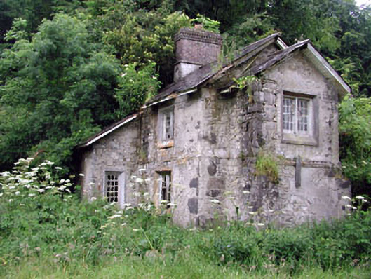 Loughcrew Housegate lodge · 121 yd
 Enclosure in GalleastownEnclosure · 818 yd
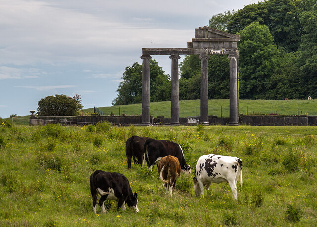 Loughcrew House porticoRuins · 1487 yd
 Common LimeCommon Lime · 1.2 mi
 European YewEuropean Yew · 1.2 mi
 Zip WireHeritage attraction · 1.2 mi
 Slieve GullionMountain / peak · 1.2 mi
 MoatCastle, motte · 1.3 mi
 LoughcrewMegalithic tomb cemetery · 1.4 mi
 Carnbane WestMountain / peak · 1.5 mi
 C11Named rock · 1.5 mi