What is recorded here
No amount of thinking can invent a new fact about the exact place. The facts already identify it as a small earthen ringfort near Loughcrew: a raised grass platform, a scarp and berm, a narrow entrance, and a possible central house mark. The best answer is to describe that shape and admit the rest is lost.
Situated on a hillock at the base of the W-facing slope of a NNW-SSE ridge with the N shore of a small lake c. 50m to the SW. It is not depicted on any edition of the OS 6-inch map but is visible on aerial photographs (GSIAP: N 259, 260) and later series. This is raised subcircular and grass-covered platform (dims 26.4m ENE-WSW; 22.2m NNW-SSE) defined by a scarp (Wth 3-4m; H 1.4-1.6m) with a berm (Wth 2.2-3m) at its base S-W-NE. The ramp entrance (Wth of base 3.5m) is at SSE. There is a rectangular house site (dims 9m NE-SW; 5m NW-SE) at the centre defined by scarps (H 0.4m) but the NW side melds into the ground surface.
The above description is derived from the published 'Archaeological Inventory of County Meath' (Dublin: Stationery Office, 1987). In certain instances the entries have been revised and updated in the light of recent research.
Compiled by: Michael Moore
Date of revision: 8 January 2019
The monument record does not grant public access. Check the route and ask the landowner before entering private land.
- What survives
- Recorded monument
Places near here
 Enclosure in LoughcrewEnclosure · 850 yd
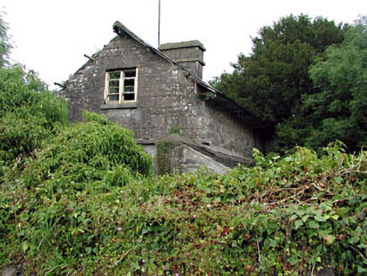 Loughcrew Housegate lodge · 894 yd
 Fairy fort / earthen ringfort in LoughcrewFairy fort / earthen ringfort · 1045 yd
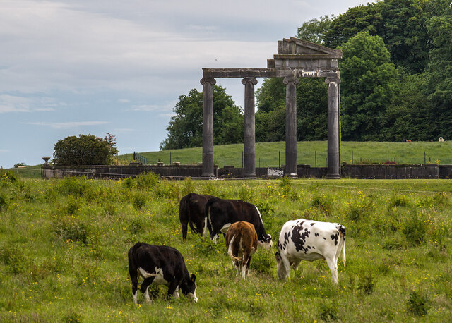 Loughcrew House porticoRuins · 1214 yd
 Common LimeCommon Lime · 1662 yd
 European YewEuropean Yew · 1671 yd
 Zip WireHeritage attraction · 1739 yd
 MoatCastle, motte · 1.0 mi
 Slieve GullionMountain / peak · 1.1 mi
 Green CastleCastle, unclassified · 1.1 mi
 LoughcrewMegalithic tomb cemetery · 1.4 mi
 Carnbane WestMountain / peak · 1.5 mi