What is recorded here
Fairy fort / earthen ringfort in Loughaun (Modreeny parish) is a fairy fort or earthen ringfort in Loughaun (Modreeny parish), County Tipperary, Ireland. It occupies a roughly circular area measuring 43 metres north to south, enclosed by a much denuded bank 5.4 metres wide. The bank stands 0.62 metres high internally and varies from 0.5 metres externally in the east to 2.5 metres in the north.
Situated in an area of rock outcrop in pasture, on ground sloping to the N. A roughly circular area (diam. 43m N-S) enclosed by a much denuded bank (Wth 5.4m; int. H 0.62m; ext. H varies 0.5m in E to 2.5m in N), best preserved in the NW and NE quadrants. The interior is fairly level despite areas of exposed outcrop, particularly in the NE and NW quadrants.The bank at N is reduced to a scarp with a natural drop to the exterior. Gap in bank at W (Wth 5.5m).
The above description is derived from 'The Archaeological Inventory of County Tipperary. Vol. 1 - North Tipperary' compiled by Jean Farrelly and Caimin O'Brien (Dublin: Stationery Office, 2002). In certain instances the entries have been revised and updated in the light of recent research.
Date of upload/revision: 22 September 2008
The monument record does not grant public access. Check the route and ask the landowner before entering private land.
- What survives
- Recorded monument
Places near here
 Enclosure in KnockanacreeEnclosure · 1510 yd
 Knockanacree WoodForest · 1.1 mi
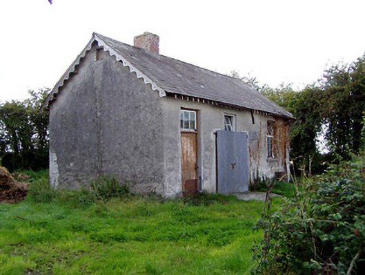 Behamore National Schoolschool · 1.1 mi
 Enclosure in DerreenEnclosure · 1.2 mi
 CastleCastle, ringwork · 1.2 mi
 Behamore CastleCastle · 1.3 mi
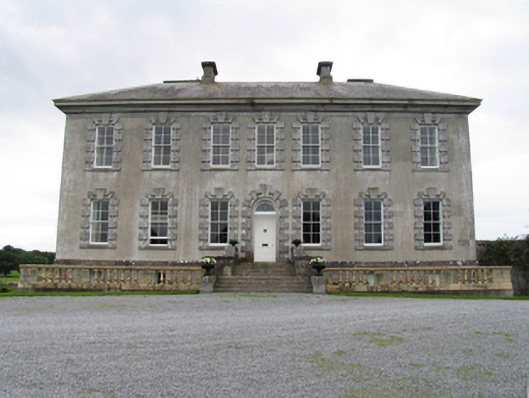 Sopwell Hallcountry house · 1.5 mi
 MacDonagh HouseMemorial · 2.0 mi
 Thomas MacDonagh Heritage CentreMuseum · 2.1 mi
 Cangort WoodWood · 3.5 mi
 James Devaney MemorialMemorial · 6.8 mi
 Gibbet HillMountain / peak · 11 mi