What is recorded here
On a slight ridge, 30m SE of a cairn (GA042-186----). Marked on 3rd ed. of OS 6-inch map (1920) as a rectilinear enclosure (c. 35m by c. 36m). A reservoir has since been built in the vicinity, and all that is now visible is a low very poorly preserved subcircular mound (22.4m by 21.5m) with traces of an external fosse at NW.
The above description is derived from the published 'Archaeological Inventory of County Galway Vol. II - North Galway'. Compiled by Olive Alcock, Kathy de hÓra and Paul Gosling (Dublin: Stationery Office, 1999).
Date of upload: 05 August 2010
The monument record does not grant public access. Check the route and ask the landowner before entering private land.
- What survives
- Recorded monument
Places near here
 Church of Saint John the Baptist (Killursa)church/chapel · 545 yd
 CaherFairy fort / stone ringfort · 631 yd
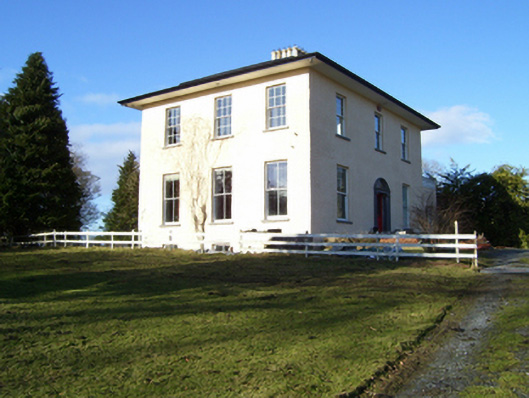 The Rectoryrectory/glebe/vicarage/curate's house · 682 yd
 Headford CastleCastle, unclassified · 1209 yd
 LisheenArchaeological place · 1289 yd
 Cloghanower Castle in ruinsCastle, tower house · 1.6 mi
 Ross Errilly FriaryHeritage attraction · 1.9 mi
 Kilcoona Round TowerHeritage attraction · 3.0 mi
 BallynacreggaWood · 3.7 mi
 Walsh's IslandIslet · 3.9 mi
 Cregg PlantationForest · 4.2 mi
 Ballinduff BayBay · 4.5 mi