What is recorded here
Moat was a forty-metre circular cairn on a Galway ridge until road builders destroyed it in 1936. They uncovered a rectangular cist holding the disturbed bones of three people beneath a single capstone. The stones vanished into local roads, erasing the burial marker but carrying the dead beneath every cartwheel and bootsole.
On a slight ridge running NW-SE. Before its destruction for road material in 1936, it consisted of a large circular cairn (D c. 40m, H c. 7m). A rectangular cist (L 1.9m, Wth 1.12m, H 0.5m) was discovered 'in the centre at the base of the cairn' (Hynes 1937, 144-6). It was roofed by a single capstone and floored by another slab. It contained the greatly disturbed bones of three individuals. No visible surface trace survives. An earthwork (GA042-187----) lay 30m to SE. (Waddell 1975, 19; 1990, 94)
The above description is derived from the published 'Archaeological Inventory of County Galway Vol. II - North Galway'. Compiled by Olive Alcock, Kathy de hÓra and Paul Gosling (Dublin: Stationery Office, 1999).
Date of upload: 05 August 2010
A Neolithic circular cairn with an internal rectangular cist; significant as a prehistoric burial monument, though largely destroyed in the 20th century.
The monument record does not grant public access. Check the route and ask the landowner before entering private land.
- What survives
- Recorded monument
Places near here
 Church of Saint John the Baptist (Killursa)church/chapel · 516 yd
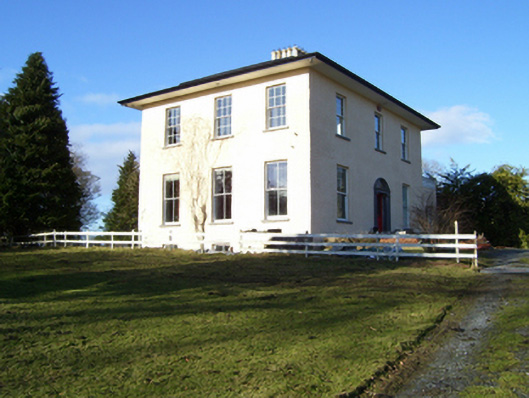 The Rectoryrectory/glebe/vicarage/curate's house · 641 yd
 CaherFairy fort / stone ringfort · 667 yd
 Headford CastleCastle, unclassified · 1202 yd
 LisheenArchaeological place · 1271 yd
 Cloghanower Castle in ruinsCastle, tower house · 1.6 mi
 Ross Errilly FriaryHeritage attraction · 1.9 mi
 Kilcoona Round TowerHeritage attraction · 3.1 mi
 BallynacreggaWood · 3.7 mi
 Walsh's IslandIslet · 3.9 mi
 Cregg PlantationForest · 4.2 mi
 Ballinduff BayBay · 4.5 mi