What is recorded here
Rock art in Loch An Dúin is not a finished picture but three faint rings set in a line on a sandstone boulder above Loughadoon. They may be remains of a lost design or a lesson in patience, while the lake, river and distant Brandon Bay continue moving around the place.
In rough pasture (134m OD), strewn with boulders, on lower portion of a steep E-facing slope directly overlooking Loughadoon to E. This rock faces the mouth of Loughadoon, where it flows out to the Scorid River and onwards to the sea at Brandon Bay. Immediate views around Loughadoon corrie lake and distant views of Brandon Mountain range to NW and Brandon Bay to N. A slightly rough and unfractured sandstone boulder (dims. 1.3m NE-SW; 1.8m NW-SE; H 0.5m at E side) which is lozenge-shaped in elevation. It has a linear decorated surface (dims. 0.4m NE-SW; 0.15m NW-SE) which has a relatively steep NE-facing aspect. The decorated surface bears the faint remains of three ringmarks. These are orientated in a line (long-axis NE-SW) roughly in centre of stone and situated c. 9-10cm apart. Each ringmark (dims. 10cm NW-SE; c. 7cm NE-SW) is defined by a ring (Wth 1.5cm; D 1-3mm); There is no central cupmark. This is not classic rock art and the decorative elements appear as if they are residual portions of former motifs or perhaps those that were never completed. An unrecorded hut site is c. 10m to SE and rock art (KE035-076----) is c. 170m to S.
Compiled by: Alison McQueen and Vera Rahilly
Date of upload: 17 July 2017
Likely dating to the Neolithic or Bronze Age, the rock art at Loch An Dúin may have held ritual or symbolic significance, possibly linked to waterways and landscape features important for trade or spiritual practices. Its positioning overlooking Loughadoon suggests a connection to territorial markers or ceremonial activity.
The monument record does not grant public access. Check the route and ask the landowner before entering private land.
- What survives
- Recorded monument
Places near here
 Enclosure in Baile Uí UaithnínEnclosure · 513 yd
 Enclosure in Loch An DúinEnclosure · 532 yd
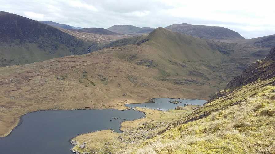 An StarraicínMountain / peak · 1070 yd
 Sliabh na nGabharMountain / peak · 1363 yd
 Church in Cill An UrdráinChurch · 1.4 mi
 Maughanablagher CliffsCliff · 2.0 mi
 An ChonairViewpoint · 2.5 mi
 Séipéal Bhréanainn [Saint Brendan's Catholic Church]church/chapel · 2.6 mi
 Drom BeachBeach / strand · 2.7 mi
 Hillville WoodWood · 3.0 mi
 Site of CastleCastle, unclassified · 3.1 mi
 An t'Oileán DubhIslet · 3.4 mi