
What is recorded here
On a low hummock in grassland. Marked and named only on 1st ed. of OS 6-inch map. All that is visible are the grassed-over foundations of a poorly preserved rectangular building (E-W; L 7m, Wth 4m), probably a small chapel or oratroy. A gap (Wth 1.55m) in S wall may indicated a doorway. Collapsed stone from the church has been reused as grave-markers in the graveyard which lies immediately to S. The latter is unenclosed save for traces of wall-footings which form a right angle along its SE limits; possibly a CBG (GA074-069002-). Very slight remains of an earthen bank (see GA074-069003-) are also visible 48m to N of the church.
The above description is derived from the published 'Archaeological Inventory of County Galway Vol. II - North Galway'. Compiled by Olive Alcock, Kathy de hÓra and Paul Gosling (Dublin: Stationery Office, 1999).
Date of upload: 05 August 2010
The monument record does not grant public access. Check the route and ask the landowner before entering private land.
- What survives
- Recorded monument
Places near here
 Killure Castle (in ruins)Castle, tower house · 354 yd
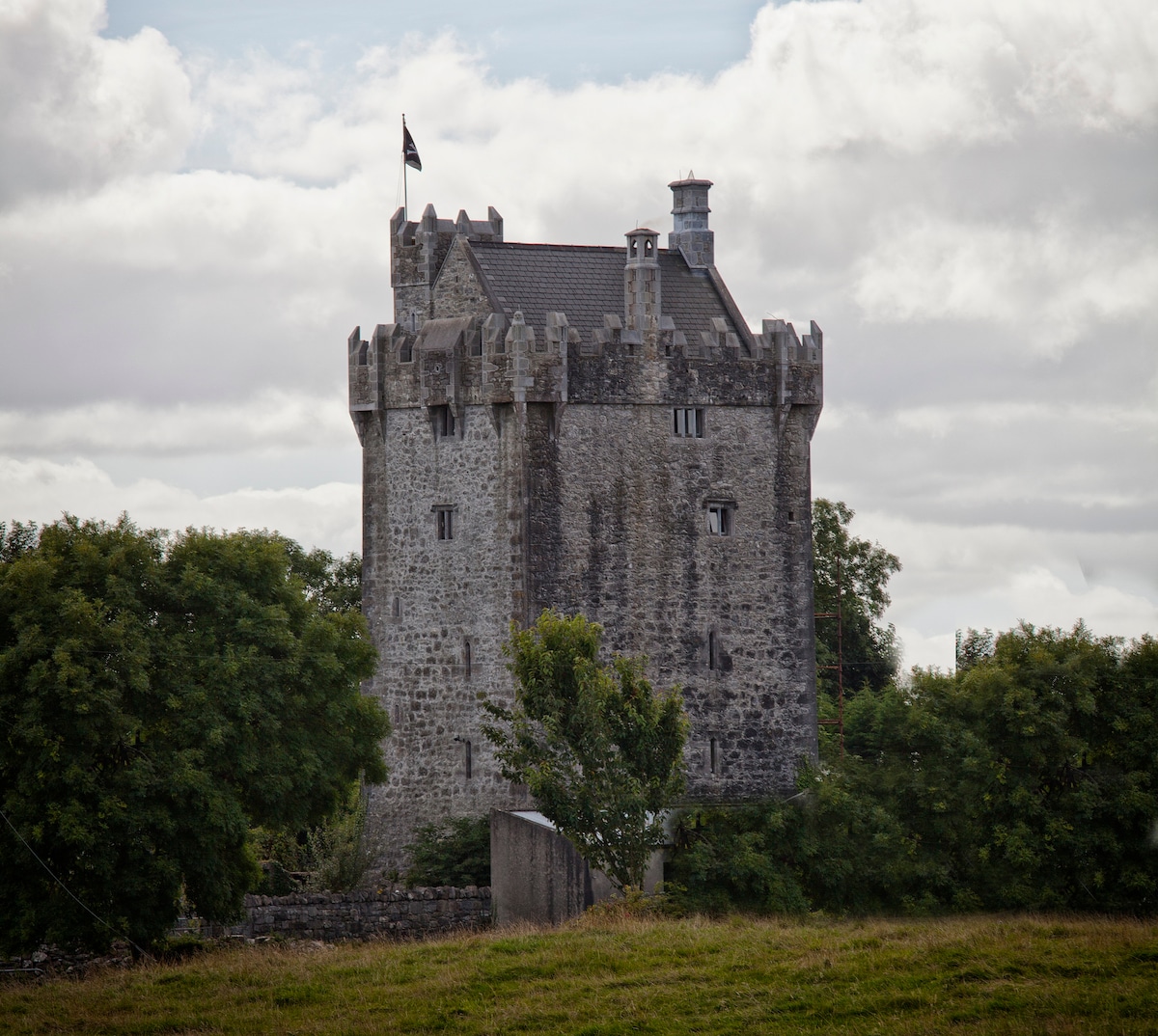 Enclosure in Killure CastleEnclosure · 690 yd
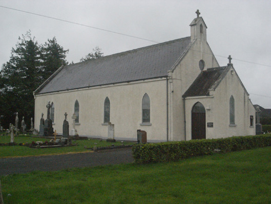 Saint Teresa's Catholic Churchchurch/chapel · 914 yd
 IndicatedEnclosure · 1041 yd
 Ballyglass Ho.House, 18th/19th century · 1217 yd
 European ashEuropean ash · 1.3 mi
 LismoneyForest · 2.2 mi
 Site of Cloonigny CastleCastle, unclassified · 2.4 mi
 Clooncoran IslandIsland · 2.6 mi
 Battle of Aughrim Interpretative CentreMuseum · 4.5 mi
 Urraghry HillMountain / peak · 4.6 mi
 Kilconnell AbbeyHeritage attraction · 4.8 mi
Other information
Photo: Credit not shown in the picture search · Rights wording not checked; contact us if this picture should be removed