What is recorded here
Indicated is a fairy fort or stone ringfort in Lissygreaghan, County Roscommon, Ireland. It stands on the crest of a north-south esker ridge as a circular grass-covered platform measuring 34.5m NE-SW and 33m NW-SE. An earthen bank with inner and outer stone facing-stones defines the perimeter SSE-WSW, though field walls overlay the rest. A cashel lies 180m ENE and a barrow 70m N.
On the crest of a N-S esker ridge. Circular grass-covered platform with some trees (diam. 34.5m NE-SW; 33m NW-SE) defined by an earthen bank (at SSW: Wth 4.15m; int. H 0.4m; ext. H 1m) with inner and outer stone facing-stones (original Wth 1.5-1.6m) visible SSE-WSW, but the perimeter is overlain by field walls elsewhere. There is no visible fosse or identifiable original entrance. Cashel (RO048-094----) is c. 180m to the ENE and barrow (RO048-093----) is c. 70m to the N.
Compiled by: Michael Moore
Date of upload: 24 August 2010
The monument record does not grant public access. Check the route and ask the landowner before entering private land.
- What survives
- Recorded monument
Places near here
 Embanked enclosureFairy fort / earthen ringfort · 483 yd
 IndicatedChurch · 736 yd
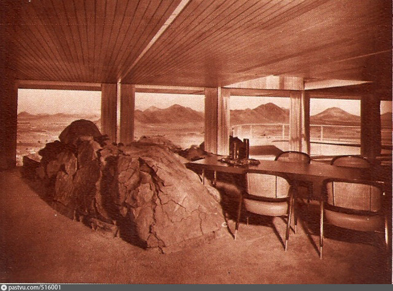 Hilltop enclosure in CappalisheenHilltop enclosure · 1.1 mi
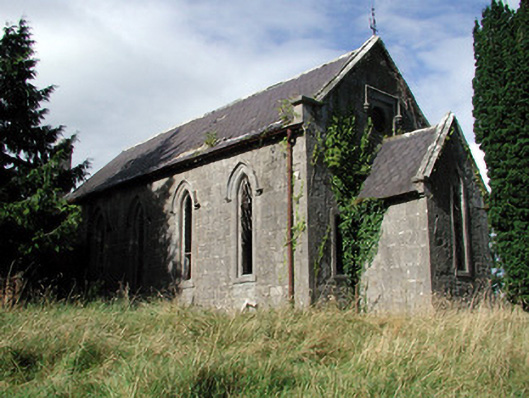 Saint Paul's Church (Kiltoom)church/chapel · 1.4 mi
 Curraghboy CastleCastle, unclassified · 2.3 mi
 Bally BayBay · 2.5 mi
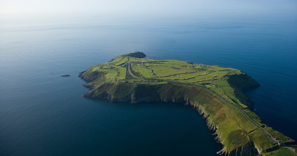 Sedgy IslandIslet · 2.6 mi
 Hodson's BayBay · 2.7 mi
 Hodson's PillarIslet · 2.7 mi
 CastlesampsonCastle, tower house · 3.3 mi
 Siege of Athlonesiege · 4.5 mi
 Historic Town - Athlone Castle & Church of St Peter and PaulVisitor information · 5.1 mi