What is recorded here
Indicated is a bivallate earthen rath at the west end of a Clare ridge, its double banks and fosse still tracing a twenty-metre chamber above the pasture. The first survey showed it in 1840, the Cassini map named it Lissatunna in 1916, and the RMP called it an enclosure in 1996. Sheep may have worn part of the outer bank flat, yet the ridge still faces south, west and north as if waiting for someone to remember why the earth was shaped there.
In pasture at the W end of a prominent E-W ridge (just above the 30m contour) with good views to S, W and N. Hachured on both the first (1840) and Cassini (1916) editions of the OS 6-inch map, and named ‘Lissatunna’ on the latter. Classified as an enclosure in the RMP (1996). A densely overgrown bivallate earthen rath (int. 22m E-W) is defined by an inner bank (int. H 0.3m; ext. H 2m; Wth 4m), a fosse (Wth 4m), and a second, outer bank (ext. H 0.4-1m; Wth 2-4m). A stretch of the outer bank (L 11m) at the SSE has been reduced (H 0.1m; Wth 2m) and a corresponding section of the inner bank has been truncated along its outer face here too. The densely overgrown interior slopes gently down to SE.
Compiled by: Gearóid Conroy and Eve Campbell
Date of upload: 8-10-2025
The monument record does not grant public access. Check the route and ask the landowner before entering private land.
- What survives
- Recorded monument
Places near here
 IndicatedFairy fort / earthen ringfort · 523 yd
 Kilmanahn GraveyardRuins · 606 yd
 LissydeelaFairy fort / earthen ringfort · 661 yd
 Famine MemorialMemorial · 1193 yd
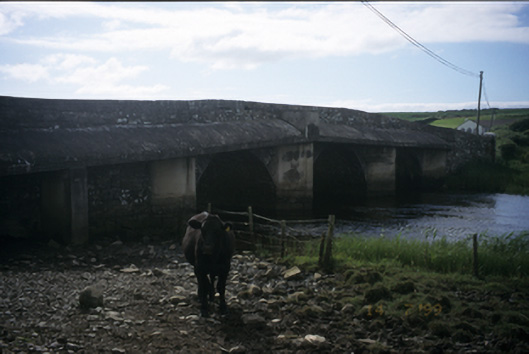 New Bridgebridge · 1362 yd
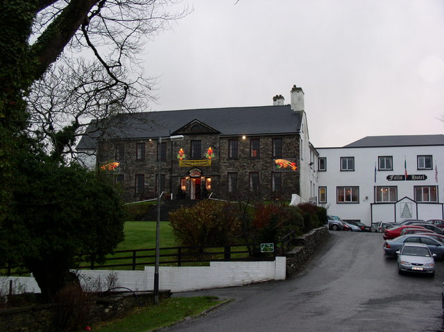 Ennistimon Househouse · 1593 yd
 Dough CastleRuins · 1.4 mi
 Site of Tullamore CastleCastle, unclassified · 1.6 mi
 Lahinch BeachBeach / strand · 1.8 mi
 TullygarvanWood · 2.8 mi
 John P. Holland CentreMuseum · 3.3 mi
 Bridget's Well;St Bridget's WellSpring · 4.4 mi