What is recorded here
Thirty metres of raised earth still mark the oval in Lissard pasture, though fields and drains have cut through its edges. The shape appeared on maps only decades after the area became ordinary farmland, suggesting human hands built or revealed the platform long before surveyors noticed it. Glenefy House watches from a short distance southeast while the earthwork keeps its own quieter company beside the townland boundary.
In reclaimed pasture, 70m N of the townland boundary with Castlecreagh. Glenefy House lies 300m to SE. Not indicated on the 1840 ed. OSi 6-inch map. Depicted on the 1897 ed. OSi 25-inch map as a raised sub-circular shaped area (dims. c. 30m N-S; 27m E-W) defined by a scarp. The monument is visible as an oval-shaped platform truncated at N by a field boundary running NE-SW on oblique aerial photograph (ASIAP (318) 36) taken 05-10-2002. Visible as a sub-circular shaped platform with traces of an outer fosse from E-S-W, truncated at SE by drain running NW-SE on Google Earth orthoimage dated 14/09/2019.
See attached oblique aerial image (ASIAP (318) 36) and Google Earth orthoimages.
Compiled by: Martin Fitzpatrick
Date of upload: 15 July 2021
The monument record does not grant public access. Check the route and ask the landowner before entering private land.
- What survives
- Recorded monument
Places near here
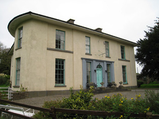 Glenefyhouse · 365 yd
 Enclosure in SnugboroughEnclosure · 469 yd
 Partially indicatedFulacht fia · 637 yd
 Darby's Bed Walk LoopWalking route · 1114 yd
 Duntryleague HillMountain / peak · 1127 yd
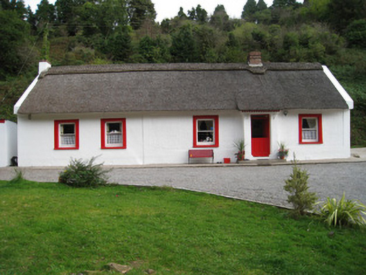 Annagh Cottagehouse · 1440 yd
 Duntryleague - hachuredCastle, ringwork · 1.4 mi
 Carn (site of)Cairn, burial cairn · 1.7 mi
 Ryves CastleCastle, unclassified · 2.2 mi
 Saint Patrick's WellSpring · 2.7 mi
 Knockanebrack HillMountain / peak · 3.6 mi
 St Patrick's WellSpring · 3.8 mi