What is recorded here
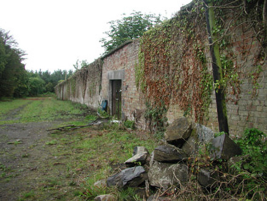
Brick walled garden, built in the 1840's, now overgrown and neglected. Square plan. High red brick garden boundary walls, ashlar stone copings. Square-headed carriage opening to east, block-and-start tooled ashlar limestone jambs, ashlar voussoirs, temporary metal gates c. 1960. Sunken lane with rubble stone embankments to both sides leads from garden to stables.
This, once impressive, walled garden is in a state of abject disrepair. It once functioned as the vegetable, fruit and flower growing are for the house during the late nineteenth century. The brick boundary walls create a strong architectural presence quite fitting to the significance of the Lissadell demesne.
This does not grant access. Most recorded buildings are privately owned; view them only from public ground unless the owner allows entry.
Places near here
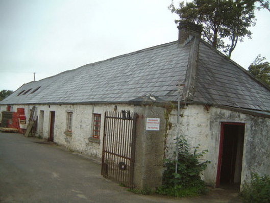 Lissadell Housefarmyard complex · 432 yd
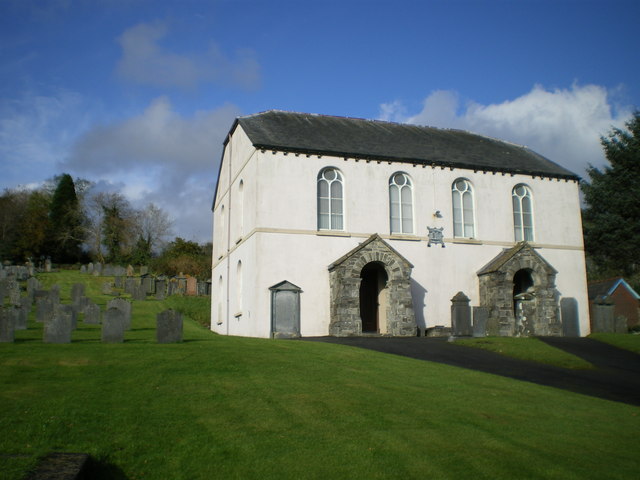 Bunbrenoge Chapel (Site of)Church · 518 yd
 Castle (Site of)Castle, unclassified · 586 yd
 LissadellFairy fort / earthen ringfort · 723 yd
 Church Hill WoodWood · 858 yd
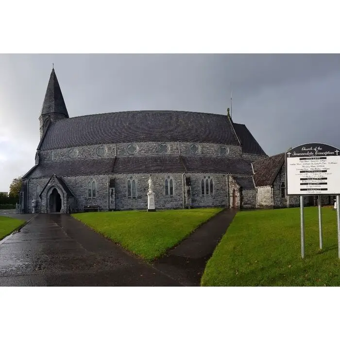 Church (in Ruins)Church · 1160 yd
 Forester's WoodForest · 1209 yd
 Bawn in DoonforeBawn · 1437 yd
 Drumcliff BayBay · 1.5 mi
 Finned PointHeadland · 1.7 mi
 Ardtermon StrandBeach / strand · 2.1 mi
 Rosses Point BeachBeach / strand · 2.7 mi
Other information
Photo: National Inventory of Architectural Heritage · Website use allowed for educational or private purposes with source credit