What is recorded here
Fairy fort / earthen ringfort in Lisquillibeen is a fairy fort or earthen ringfort in Lisquillibeen, County Tipperary, Ireland. Wheeler (1967) described the site as a large, double-banked ringfort with a farmyard immediately to the southwest. The enclosure now sits on a south-facing slope of rising ground in an upland area. It is partially destroyed, covered mainly by silage and partially quarried at the south, making examination impossible due to the condition of the site.
Situated on a S-facing slope of rising ground in an upland area. A partially destroyed enclosure covered mainly by silage and partially quarried at S. Impossible to examine due to the condition of the site. Described by Wheeler (1967) as a large, double-banked ringfort with farmyard immediately to the SW.
The above description is derived from 'The Archaeological Inventory of County Tipperary. Vol. 1 - North Tipperary' compiled by Jean Farrelly and Caimin O'Brien (Dublin: Stationery Office, 2002). In certain instances the entries have been revised and updated in the light of recent research.
Date of upload/revision: 22 September 2008
The monument record does not grant public access. Check the route and ask the landowner before entering private land.
- What survives
- Recorded monument
Places near here
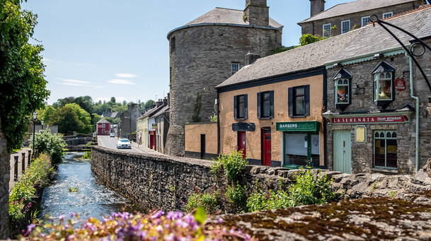 IndicatedEnclosure · 320 yd
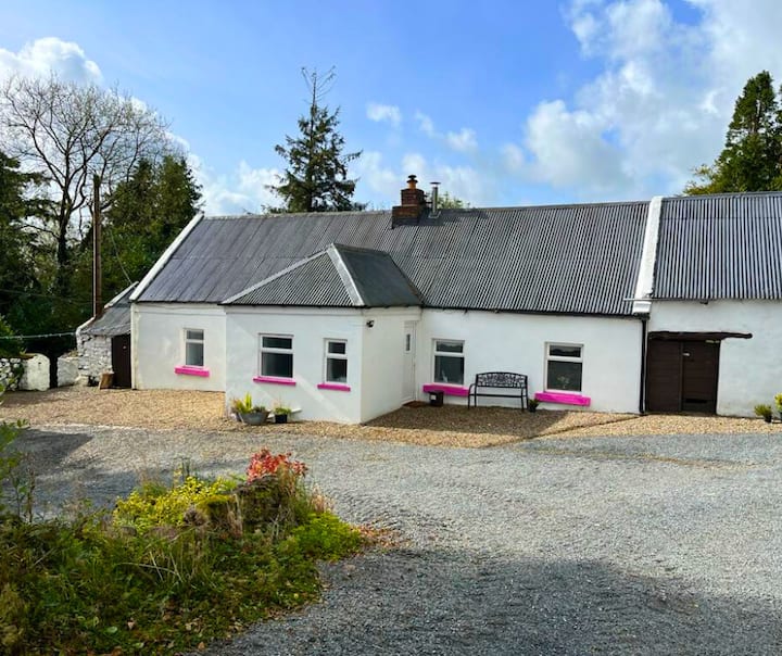 Enclosure in LisquillibeenEnclosure · 630 yd
 Church in Carney, Commons OFChurch · 658 yd
 Tullan CastleCastle · 660 yd
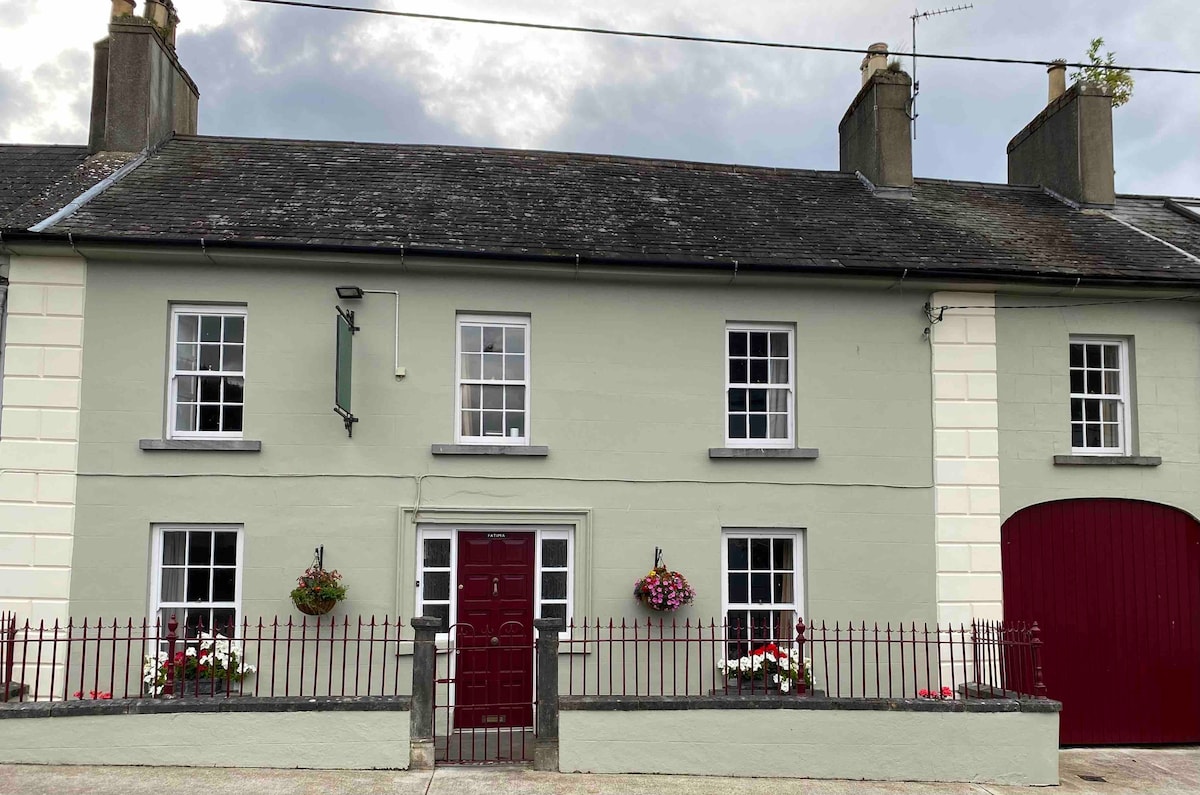 Cashlaunteigeboght (in ruins)Castle, tower house · 944 yd
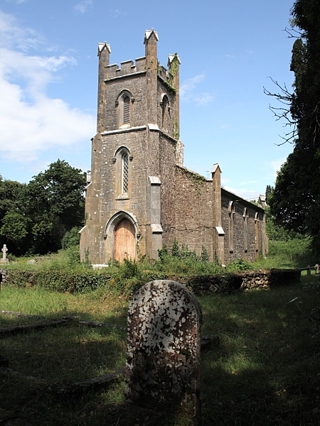 Coolbaun Church (Kilbarron)church/chapel · 1146 yd
 Carrickboy WoodForest · 1.2 mi
 Goose IslandIslet · 1.9 mi
 Buggane IslandIslet · 2.8 mi
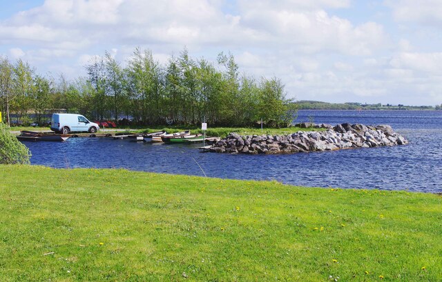 Lough DergNationally known place · 3.5 mi
 Knigh HillMountain / peak · 3.9 mi
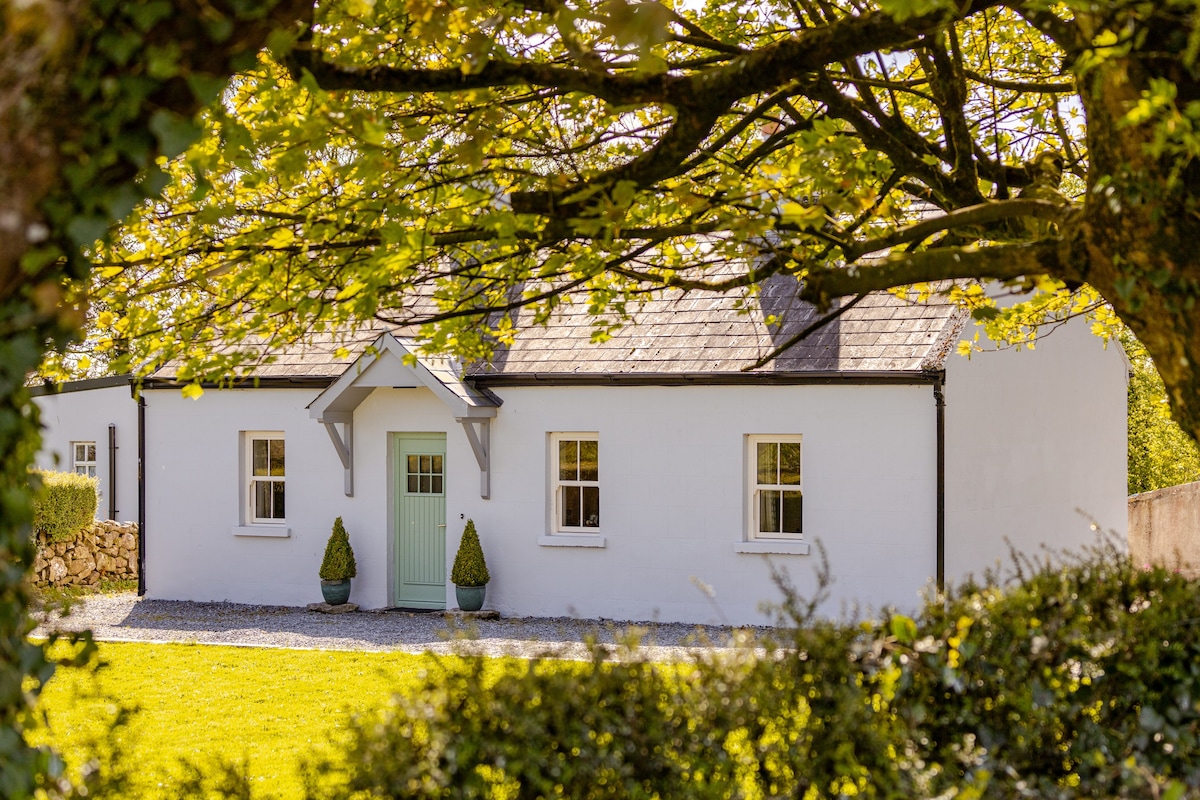 Kylenameely WoodWood · 4.0 mi