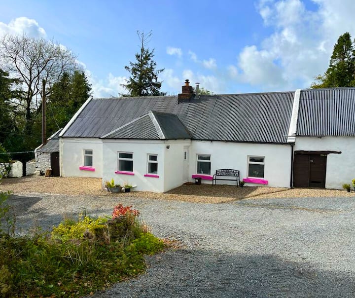
What is recorded here
Site is indicated as a large circular enclosure on the 1st ed. OS 6-inch map. Hachures on 1903 ed. OS 6-inch map represent natural cliff face of a quarry in an area of rock outcrop. Field inspection in 1995 established that there is no visible trace above ground of the large enclosure depicted on the 1st ed. Map.
Compiled by: Jean Farrelly and Caimin O'Brien
Date of upload/revision: 22 September 2008
This remains an important historical record, but the official description says the monument is no longer visible or has been destroyed. The monument record does not grant public access. Check the route and ask the landowner before entering private land.
- What survives
- No visible remains or recorded as destroyed
Places near here
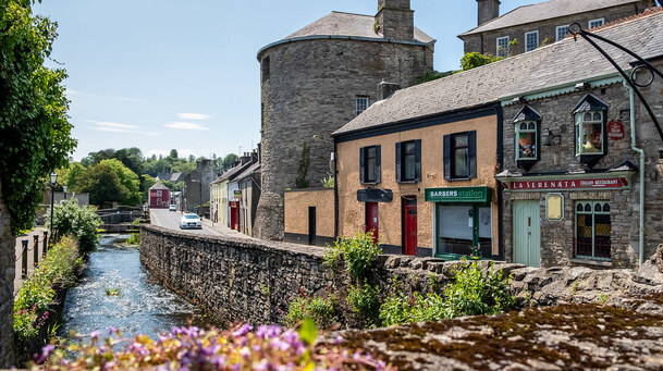 IndicatedEnclosure · 540 yd
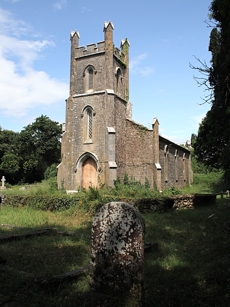 Coolbaun Church (Kilbarron)church/chapel · 611 yd
 Church in Carney, Commons OFChurch · 831 yd
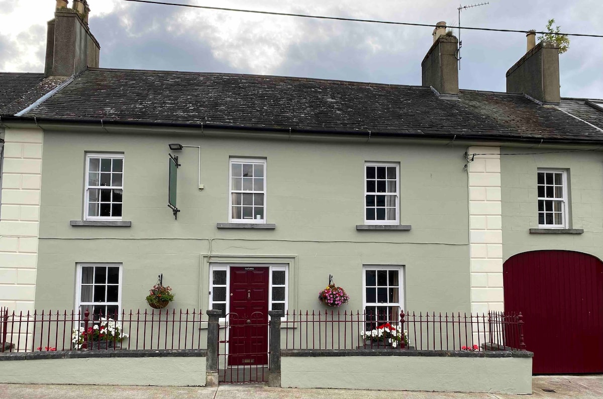 Cashlaunteigeboght (in ruins)Castle, tower house · 910 yd
 Tullan CastleCastle · 978 yd
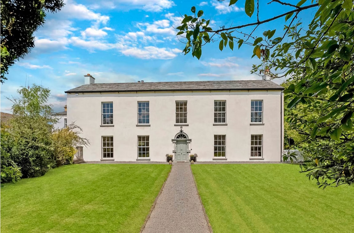 Enclosure in Coolbaun (kilbarron Par.)Enclosure · 1539 yd
 Carrickboy WoodForest · 1605 yd
 Goose IslandIslet · 1.6 mi
 Buggane IslandIslet · 2.5 mi
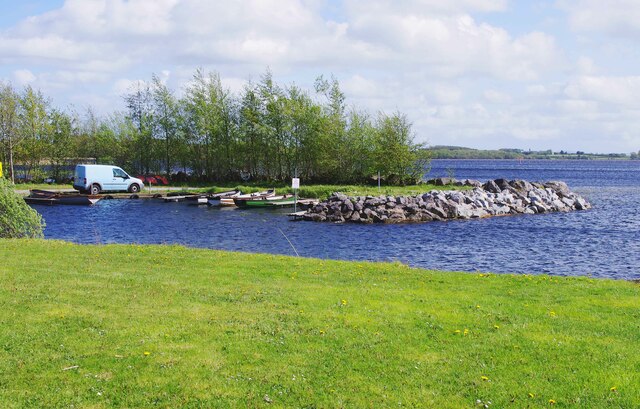 Lough DergNationally known place · 3.1 mi
 Dromineer BayBay · 3.8 mi
 Knigh HillMountain / peak · 3.9 mi
Other information
Photo: Credit not shown in the picture search · Rights wording not checked; contact us if this picture should be removed