What is recorded here
Half a metre of proud earth and a shadow in the grass still mark the fort above the Blackwater, though machines bit through its skin in the 1980s. Children were buried inside the ring, a standing stone watched from the north-east, and a hidden passage may still breathe underneath the northwest grass. The fairies kept their fort by giving up most of it; what remains is enough to show the shape of what was taken.
In pasture, on W-facing slope, above Blackwater River. Depicted as hachured roughly circular enclosure (diam. c. 45m) on 1842, 1905 and 1936 OS 6-inch maps; hachures joined by solid line on 1905 and 1936 OS 6-inch maps. According to local information, levelled c. 1980s. Slightly raised, circular area (52m N-S; 52m E-W) survives, defined by slight scarp (H 0.5m); external fosse visible as differential growth pattern S->W. Concentration of small stones scattered across site. Circular cropmark visible in aerial photograph (CASAP, 1986). Possible Man-made underground passage (CO032-01603-) in NW quadrant. Recorded by Bowman (1934, 677) as single-ramparted ringfort (diam. c. 42yd; bank c. 4ft H) with fosse infilled and interior raised; interior used as children's burial ground (CO032-01604-); standing stone (CO032-01602-) in NE quadrant.
The above description is derived from the published 'Archaeological Inventory of County Cork. Volume 4: North Cork' (Dublin: Stationery Office, 2000). In certain instances the entries have been revised and updated in the light of recent research.
Date of upload/revision: 14 January 2009
Lisnapastee, Pallas is a likely early-medieval ringfort, indicated by its circular enclosure and depiction on 19th- and early 20th-century Ordnance Survey maps. Local tradition associates such sites with the Pallas people, a term sometimes linked to fairy or otherworldly inhabitants in Irish folklore.
The monument record does not grant public access. Check the route and ask the landowner before entering private land.
- What survives
- Recorded monument
Places near here
 LisnapasteeBurial ground · 1 yd
 Gurteenkreen Castle (Site of)Castle, unclassified · 856 yd
 Roskeen BridgeBridge · 1242 yd
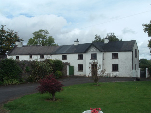 Gortmore Housecountry house · 1292 yd
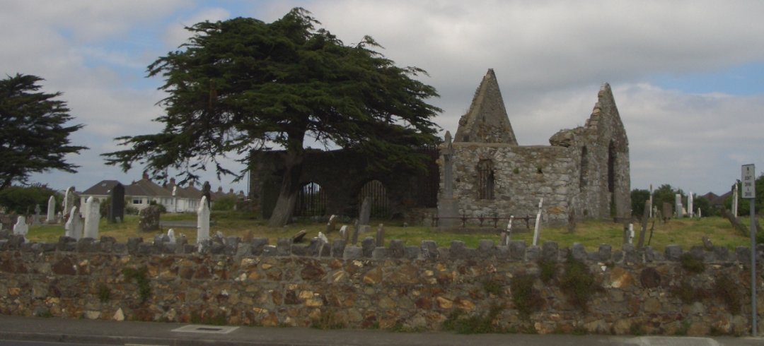 Burial ground in KilbarrahanBurial ground · 1644 yd
 Mount HillaryMountain / peak · 2.2 mi
 Mount Hillary - Knightfield LoopWalking route · 2.2 mi
 Lohort CastleCastle, tower house · 2.2 mi
 Mount Hillary - Mount Hillary LoopWalking route · 2.5 mi
 St Fursey's WellSpring · 2.9 mi
 Graveyard in Ballygiblin (duhallow By.)Graveyard · 3.1 mi
 Dromaneen CastleHeritage attraction · 3.1 mi