What is recorded here
No visible chamber, no door, no ladder, no warning. Only a nettle-strangled L-shaped hollow inside a ringfort, long enough to swallow several people standing end to end, then bending south like a sentence interrupted. If it is a passage, it is a passage that has stopped answering questions.
In NW quadrant of a ringfort (GA086-189----). What is visible is a nettle-filled L-shaped depression, its long axis (L 17.7m) running ESE-WNW. At its WNW end, it turns sharply to S and continues for a further 4.2m.
The above description is derived from the published 'Archaeological Inventory of County Galway Vol. II - North Galway'. Compiled by Olive Alcock, Kathy de hÓra and Paul Gosling (Dublin: Stationery Office, 1999).
Date of upload: 05 August 2010
The monument record does not grant public access. Check the route and ask the landowner before entering private land.
- What survives
- Recorded monument
Places near here
 Site of Lisnamoltaun CastleCastle, unclassified · 773 yd
 Enclosure in CloverparkEnclosure · 815 yd
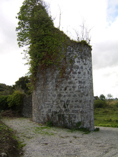 Woodlawnfolly · 894 yd
 CastleCastle, unclassified · 1192 yd
 Enclosure in WoodlawnEnclosure · 1268 yd
 Quarry in Castlebin NorthQuarry · 1351 yd
 Large-leaved LimeLarge-leaved Lime · 1.3 mi
 Western RedcedarWestern Redcedar · 1.7 mi
 Kilconnell AbbeyHeritage attraction · 3.0 mi
 Turoe StoneHeritage attraction · 5.6 mi
 Battle of Aughrim Interpretative CentreMuseum · 6.0 mi
 Battle of AughrimMajor battlefield · 6.3 mi