
What is recorded here
In pasture, on SE-facing slope. Circular area (33.5m N-S; 32.5m E-W) enclosed by two concentric earthen banks with an intervening fosse. Inner bank (int. H 0.5m; ext. H 2.55m) has gaps at SE (Wth 3.6m) and NW (Wth 2.7m). Flat-topped outer bank (int. H 1.1m; ext. H 1.6m) is higher internally W->E (int. H 2.15m to base of fosse) and is covered with dense overgrowth. No definite gap in outer bank but a slight lowering occurs at SE opposite gap in inner bank. Fosse (Wth 3.5m) has marshy base and narrows to 2m SW->WNW. Interior slopes gently down to SE and is under rough pasture.
Compiled by: Denis Power
Date of upload: 26 August 2011
Lisnagreeve - Hachured is a circular early-medieval ringfort, likely dating to between the 5th and 10th centuries, characterized by two concentric earthen banks and a fosse. Local folklore, though not specifically recorded for this site, often associates such forts with fairy dwellings or ancient druidic activity in Irish tradition.
The monument record does not grant public access. Check the route and ask the landowner before entering private land.
- What survives
- Recorded monument
Places near here
 Mound in KnockbweeheenMound · 1231 yd
 Kilcolman Church (in ruins)Church · 1660 yd
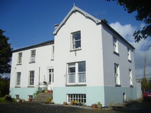 Rathronan Houserectory/glebe/vicarage/curate's house · 1715 yd
 Grave YardGraveyard · 1.0 mi
 Castle (in ruins)Castle, tower house · 1.3 mi
 CahermoyleCastle, unclassified · 1.7 mi
 St. Luke's WellSpring · 1.8 mi
 St. Kieran's WellSpring · 3.4 mi
 Limerick GreenwayWalking route · 5.0 mi
 Monterey CypressMonterey Cypress · 6.5 mi
 Sugar HillMountain / peak · 6.6 mi
 Gammarel PointHeadland · 6.8 mi
Other information
Photo: Credit not shown in the picture search · Rights wording not checked; contact us if this picture should be removed