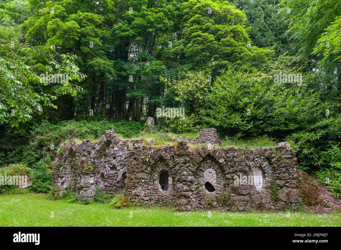
What is recorded here
Embanked enclosure is a fairy fort or earthen ringfort in Lismeehy,lissonuffy, County Roscommon, Ireland. A large oval embanked enclosure measured roughly 80 metres northwest to southeast and 55 metres northeast to southwest on the 1837 Ordnance Survey map. Overgrown curving field banks at the north and south may still hold parts of a 50 metre enclosure, while a possible rath lies 190 metres to the north northeast.
Marked as a large oval embanked enclosure (ext. dims c. 80m NW-SE; c. 55m NE-SW) on the 1837 ed. of the OS 6-inch map, and situated on a gentle E-facing slope. Parts of overgrown curving field banks at N and S, the latter being part of the townland boundary with Lissonuffy, may incorporate elements of an enclosure (diam. c. 50m), but no other feature survives. The possible rath (RO029-103----) is c. 190m to the NNE.
Compiled by: Michael Moore
Date of upload: 24 August 2010
The monument record does not grant public access. Check the route and ask the landowner before entering private land.
- What survives
- Recorded monument
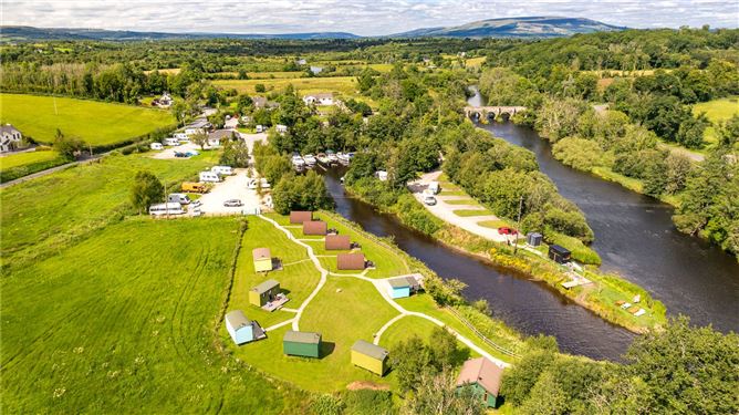
Places near here
 IndicatedFairy fort / earthen ringfort · 275 yd
 R. C. ChapelChurch · 566 yd
 CastleCastle, unclassified · 647 yd
 Church in BallinafadChurch · 1468 yd
 Not indicatdEcclesiastical enclosure · 1476 yd
 Doughill ForestForest · 1.4 mi
 Slieve BawnMountain / peak · 1.9 mi
 Strokestown House GardensHeritage attraction · 2.2 mi
 Common LimeCommon Lime · 2.2 mi
 Strokestown ParkHeritage attraction · 2.3 mi
 Leitrim CastleCastle, unclassified · 3.7 mi
 Commons North WalkVisitor information · 6.5 mi
Other information
Photo: Credit not shown in the picture search · Rights wording not checked; contact us if this picture should be removed