What is recorded here
In improved pastureland on a short flat terrace at the SW foot of Cappanawalla Hill. A well-preserved classic horseshoe-shaped mound (13.5m NW-SE; 12m NW-SE; max. H 1.1m at SW). The trough area (7m NE-SW; NW-SE 4m; D 0.6m), which is lined with stones, opens to the NW. A stream flows from NE to SW, just N of the site, and it occasionally floods it during wet weather. Another patch of burnt stone (diam. c. 2m) lies to the N, across the stream. Two cashels (CL005-200002- and CL005-200----) are located c. 120m to the E.
Compiled by: Olive Alcock and Ros Ó Maoldúin
Date of upload: 24 January 2022
The monument record does not grant public access. Check the route and ask the landowner before entering private land.
- What survives
- Recorded monument
Places near here
 LismacteigeFairy fort / earthen ringfort · 265 yd
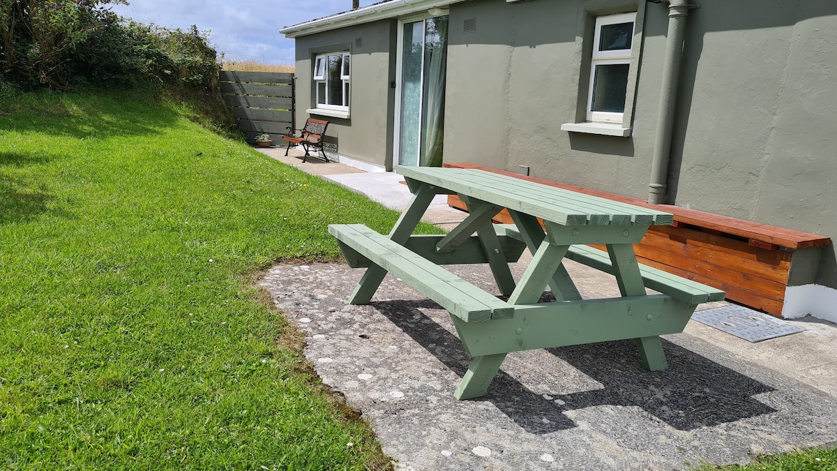 Enclosure in LismacteigeEnclosure · 343 yd
 Rathborney Church (in ruins)Church · 1406 yd
 Rathborney R.C. ChapelChurch · 1496 yd
 Newtown CastleCastle, tower house · 1749 yd
 Gregan CastleCastle · 1.4 mi
 CappanawallaMountain / peak · 1.5 mi
 Bird Of Prey CentreHeritage attraction · 1.9 mi
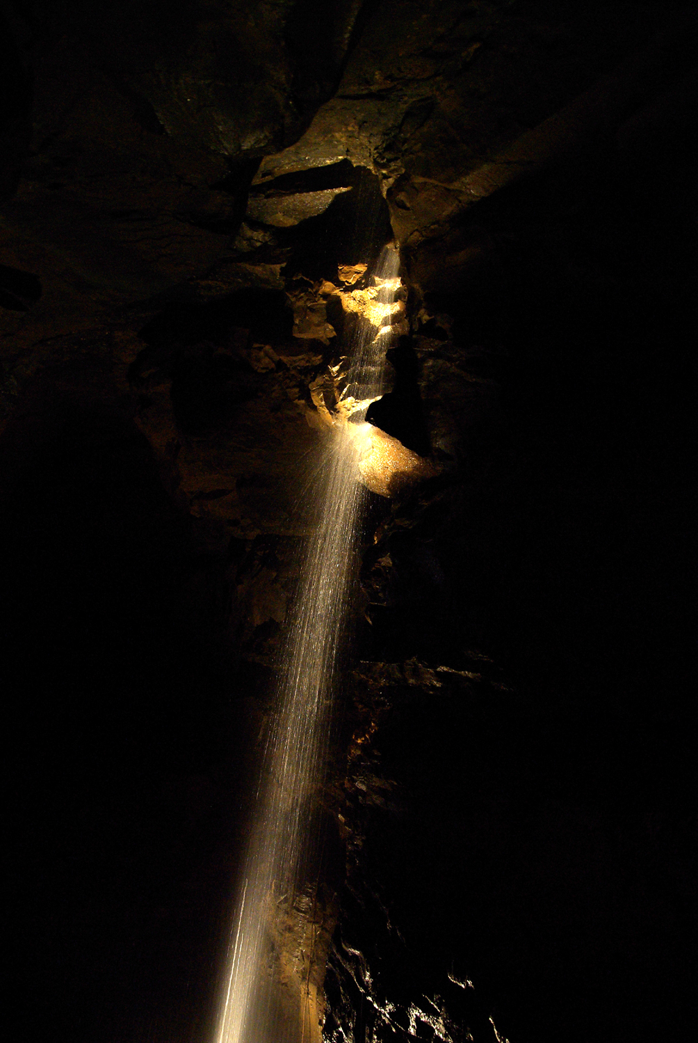 Aillwee CaveCave · 2.1 mi
 Cullaun 1Cave · 2.5 mi
 Rine PointHeadland · 2.6 mi
 Gleninshing portal tombHeritage attraction · 2.9 mi