What is recorded here
Indicated is a fairy fort atop a Mayo ridge, an oval of three earthen banks and two fosses that has watched the pasture since before human memory. Its eastern entrance stands 2.3m wide, inviting entry into a space where the rules of distance and time may soften. The outer bank, levelled from north to east, suggests repeated human use or reverence, perhaps marking a boundary between the ordinary world and something older.
In pasture, atop ridge. Oval-shaped area (41m N-S; 32m E-W), enclosed by three earthen banks (H 1.9m), with two intervening external fosses. Evidence of stone revetment on banks. Outer bank; levelled N to E. Entrance on E (Wth 2.3m). Gaps on SW, N and NNE. Stone field fence encloses site and partly overlies outer bank.
The above description has been derived from D. Lavelle (compiler), An Archaeological Survey of Ballinrobe and District including Lough Mask and Lough Carra. Lough Mask and Lough Carra Tourist Development Association (1994), No. 188.
Date of upload: 30 October 2013
The monument record does not grant public access. Check the route and ask the landowner before entering private land.
- What survives
- Recorded monument
Places near here
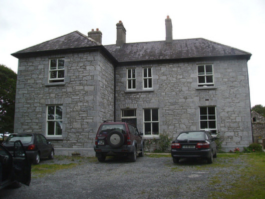 Liskilleen Housefarm house · 449 yd
.jpg) IndicatedBawn · 506 yd
IndicatedBawn · 506 yd Church in Rocksborough SouthChurch · 1631 yd
 CastleCastle, unclassified · 1673 yd
 SycamoreSycamore · 1.7 mi
 Dormbeg Island NorthIslet · 1.7 mi
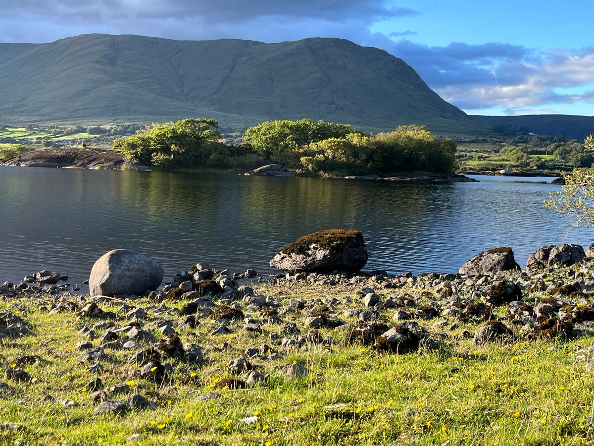 Dormbeg Island SouthIslet · 1.8 mi
 EnclosureEnclosure, large enclosure · 1.9 mi
 St. Patricks WellHoly well · 1.9 mi
 European ashEuropean ash · 3.1 mi
 Kiltoom PointHeadland · 3.4 mi
 LabbadermotCave · 4.5 mi