What is recorded here
In improved pasture, with evidence of drainage activity. Remains of a sub-oval area (dims. 36m NW-SE; 28m NE-SW) defined by traces of a levelled bank (overall Wth 6.2m; Wth at top 2.4m; int. H 0.1m; ext. H 0.15m) from W-SE and levelled scarp (Wth 2.3m; H 0.45m) which has been straightened across the SW sector. There are distinct gaps (Wth 5m and Wth 4m) in the bank at the NE and ESE respectively. A shallow, linear drain (max. Wth c. 1m) and a bank of up-cast material from same, bisects the monument from NNE-SSW. A spring well is fenced off to the S and it has a holding tank adjacent to the W.
Compiled by: Jean Farrelly
Date of upload: 26 August 2011
The monument record does not grant public access. Check the route and ask the landowner before entering private land.
- What survives
- Recorded monument
Places near here
 Enclosure in LisheenfrankaghEnclosure · 396 yd
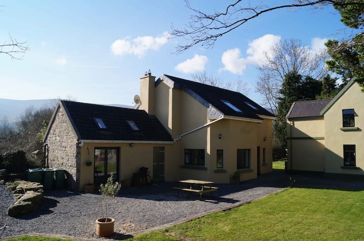 Enclosure in Alleen (hogan) (donohill Par.),lisheenfrankagh,pallas (donohill Par.)Enclosure · 616 yd
 Shanbally fortCastle, ringwork and bailey · 1360 yd
 TemplemacduaghChurch · 1534 yd
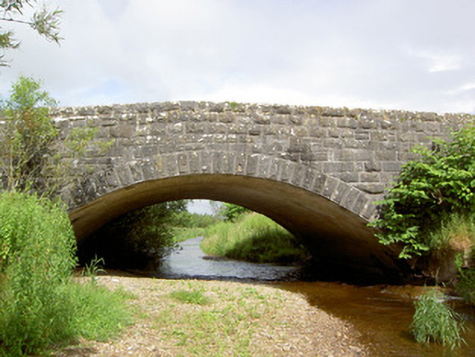 Morpeth Bridgebridge · 1.2 mi
 Old CastleRuins · 1.3 mi
 Soloheadbeg Ambushambush · 1.9 mi
 Soloheadbeg Ambush SiteMemorial · 2.2 mi
 Maudemount BogWood · 2.7 mi
 European ashEuropean ash · 2.7 mi
 I.R.A. 3rd. Tipperary Brigade MemorialMemorial · 3.3 mi
 It's a long way to TippereryHeritage attraction · 3.8 mi