What is recorded here
In rough area of improved, level pasture. An oval area (dims. 27m WSW-ENE; 23m NNW-SSE) defined by the remains of a levelled bank (overall Wth 5.1m; Wth at top 3m; int. H 0.05m; ext. H 0.15m) and possible fosse (Wth 3.35m; D 0.15m) from SE-NW and by a densely overgrown field boundary from NW-SE. There are rushes growing within the level interior which is poorly drained.
Compiled by: Jean Farrelly
Date of upload: 26 August 2011
The monument record does not grant public access. Check the route and ask the landowner before entering private land.
- What survives
- Recorded monument
Places near here
 Enclosure in LisheenfrankaghEnclosure · 230 yd
 Enclosure in Grange (donohill Par.)Enclosure · 1060 yd
 TemplemacduaghChurch · 1509 yd
 Shanbally fortCastle, ringwork and bailey · 1600 yd
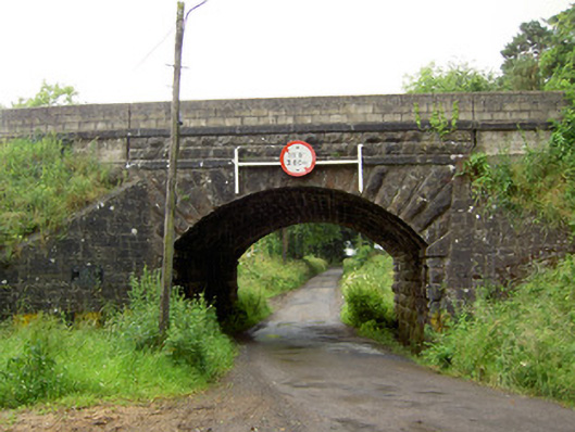 Ballyrobin Bridgebridge · 1613 yd
 Donohill MoatCastle, motte and bailey · 1.3 mi
 Soloheadbeg Ambushambush · 1.8 mi
 Soloheadbeg Ambush SiteMemorial · 2.2 mi
 Maudemount BogWood · 2.5 mi
 European ashEuropean ash · 3.1 mi
 I.R.A. 3rd. Tipperary Brigade MemorialMemorial · 3.6 mi
 It's a long way to TippereryHeritage attraction · 4.0 mi
Other information
Photo: Credit not shown in the picture search · Rights wording not checked; contact us if this picture should be removed