
What is recorded here
In pasture with a stream rising c. 100m to the SE. A roughly circular enclosure (overall diam. c. 50m), defined by a fosse, visible on satellite imagery (Google Earth satellite imagery, 20 January 2020), identified and reported by Jean-Charles Caillère. The enclosure is not indicated on the 1st (1840) or 2nd (1904) ed. OS 6-inch map, but a small pond (dims. c. 16m x 12m) is indicated on the 2nd ed. map and is visible on the satellite imagery in the interior of the W sector, near the outer edge. A field boundary runs roughly N-S along the W side of the enclosure and appears to be kinking out to respect it. There is an enclosure (TS059-046----) located c. 170m to the NNW and another enclosure (TS059-050----) c. 315m to the SSE.
See attached:
TS068-154----_01 Google Earth satellite imagery, 20 January 2020
Compiled by: Jean Farrelly
Date of upload: 7 February 2022
The monument record does not grant public access. Check the route and ask the landowner before entering private land.
- What survives
- Recorded monument
Places near here
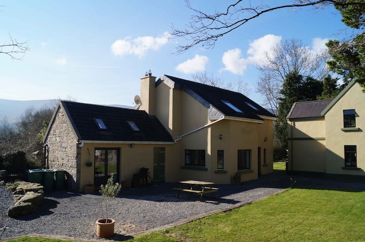 Enclosure in Alleen (hogan) (donohill Par.),lisheenfrankagh,pallas (donohill Par.)Enclosure · 230 yd
 Enclosure in Grange (donohill Par.)Enclosure · 1110 yd
 Shanbally fortCastle, ringwork and bailey · 1441 yd
 TemplemacduaghChurch · 1542 yd
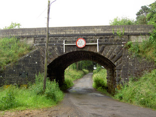 Ballyrobin Bridgebridge · 1.0 mi
 Old CastleRuins · 1.4 mi
 Soloheadbeg Ambushambush · 1.8 mi
 Soloheadbeg Ambush SiteMemorial · 2.2 mi
 Maudemount BogWood · 2.6 mi
 European ashEuropean ash · 3.0 mi
 I.R.A. 3rd. Tipperary Brigade MemorialMemorial · 3.5 mi
 It's a long way to TippereryHeritage attraction · 3.9 mi
Other information
Photo: Credit not shown in the picture search · Rights wording not checked; contact us if this picture should be removed