
What is recorded here
Half-hidden under grass and scrub at the summit of a Monaghan drumlin ridge, the fairy fort still holds its oval shape. A broken earthen bank and fading hedge mark the edge of a place people may have lived, loved, or abandoned before memory failed. The land kept the outline while human certainty departed.
Located at the summit of and at the SW end of a NE-SW drumlin ridge. This is an oval grass and scrub-covered area (dims 37m ENE-WSW; 25m NNW-SSE) defined by an earthen bank (at ESE: Wth of base 4.2m; Wth of top 1.1m; int. H 0.9m; ext. H 2.4m) and hedge ENE-SE and SW-WSW, which is reduced to a scarp and hedge elsewhere. Traces of an outer fosse are visible as a berm (Wth c. 3m) NW-NE. There is a gap in the perimeter at NNE but the original entrance is probably that at E (Wth of base 1.3m).
The above description is derived from the published 'Archaeological Inventory of County Monaghan' (Dublin: Stationery Office, 1986). In certain instances the entries have been revised and updated in the light of recent research.
Compiled by: Michael Moore
Date of revision: 26 February 2018
The monument record does not grant public access. Check the route and ask the landowner before entering private land.
- What survives
- Recorded monument
Places near here
 Battle of ClontibretBattlefield · 611 yd
 Mass GardenMass-rock · 660 yd
 Crannog in Ballygreany,bryanlitterCrannog · 873 yd
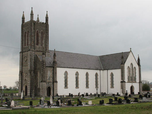 Saint Mary's Catholic Churchchurch/chapel · 955 yd
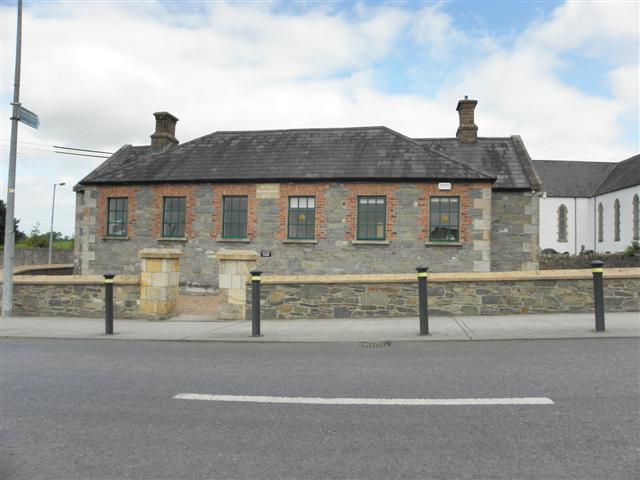 Moys National Schoolschool · 1031 yd
 Castleshane WaterfallWaterfall · 2.0 mi
 Monaghan WayWalking route · 4.7 mi
 Caldwells' WoodWood · 4.8 mi
 Liscarney WoodWood · 5.0 mi
 LisnaspeenanMountain / peak · 11 mi
 Fedd HillMountain / peak · 11 mi
 POST-MED CHURCH; GRAVEYARD: BALLYMOYER OLD CHURCH or LISDROMAUDE in BallintemplePOST-MED CHURCH; GRAVEYARD: BALLYMOYER OLD CHURCH or LISDROMAUDE · 13 mi
Other information
Photo: Credit not shown in the picture search · Rights wording not checked; contact us if this picture should be removed