
What is recorded here
The townlands of Ballygreary and Bryanlitter were separated by a small oval lake now represented by a rush-covered marshy bog (max. dims c. 370m NE-SW; c. 120m NW-SE). There was local knowledge in the 1940s of a zig-zag stone causeway at the SW end that ran out to a cairn in the bog (SMR file). There is no visible evidence of these features.
Compiled by: Michael Moore
Date of revised upload: 26 February 2018
The monument record does not grant public access. Check the route and ask the landowner before entering private land.
- What survives
- Recorded monument
Places near here
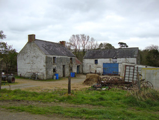 Ballygreany Millmill (water) · 721 yd
 Mass GardenMass-rock · 736 yd
 Battle of ClontibretBattlefield · 757 yd
 frotFairy fort / earthen ringfort · 873 yd
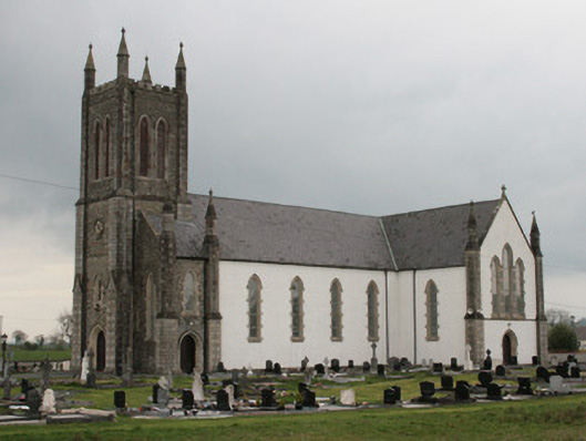 Saint Mary's Catholic Churchchurch/chapel · 1666 yd
 Castleshane WaterfallWaterfall · 2.3 mi
 Monaghan WayWalking route · 4.4 mi
 Caldwells' WoodWood · 4.9 mi
 Liscarney WoodWood · 5.1 mi
 Keady MonumentMemorial · 5.4 mi
 CarrigatukeMountain / peak · 8.7 mi
 Tullyvallen Orange Hall massacremassacre · 9.2 mi
Other information
Photo: Credit not shown in the picture search · Rights wording not checked; contact us if this picture should be removed