What is recorded here
Dermot C. Twohig excavated the Lisduggan North ringfort in 1973 because a quarry threatened it, revealing a forty-five-metre bank, external fosse and causewayed entrance that earlier survey maps had already marked. The interior held no hearths or living debris, but a rectangular post-hole enclosure suggested an animal pen, while gravel and cobbles extended from the entrance into the fort. The quarry took the rest, erasing the visible trace of a place that may have served as a seasonal pen rather than a home.
In tillage, towards bottom of S-facing slope, overlooking Awbeg River. Depicted as hachured circular enclosure (diam. c. 50m) on 1842 and 1905 OS 6-inch maps; hachured as circular area (diam. c. 40m) enclosed by fosse on 1937 OS 6-inch map. Levelled; no visible surface trace of site. Excavated (as Ringfort 3) by Dermot C. Twohig in 1973 (Twohig 1990, 1-32), along with two other ringforts (CO023-15801-; O023-15901-), due to impending quarry development. At time of excavation, bank (H 1.3m) of ringfort (diam. c. 45m) survived for most of its circumference, with external fosse (D 0.8m); causewayed entrance to SSW. Excavations in area of bank and fosse revealed that bank was constructed in two phases. Entrance area showed evidence for gravel and cobbled surface which extended over full area of causeway and into interior for about 6m; no evidence for gate across entrance (Wth c. 5m). Excavation in interior revealed two different sets of cultivation ridges. At centre, rectangular enclosure (7m x 6m) defined by lines of post-holes; no evidence found for internal posts, hearths, pits or habitation debris; finds from vicinity include a blue glass bead, a flint flake and a whetstone; enclosure interpreted as an animal pen. Pre-fort linear trench (CO023-15702-) also found during excavation.
The above description is derived from the published 'Archaeological Inventory of County Cork. Volume 4: North Cork' (Dublin: Stationery Office, 2000). In certain instances the entries have been revised and updated in the light of recent research.
Date of upload/revision: 14 January 2009
A fairy fort or earthen ringfort in Lisduggan North is a circular enclosure, likely dating to the early medieval period, with earthworks and fosse features indicating a defended settlement or ritual site. Local folklore may associate it with fairy legend, as suggested by its name, though specific traditions are not recorded.
The monument record does not grant public access. Check the route and ask the landowner before entering private land.
- What survives
- Recorded monument
Places near here
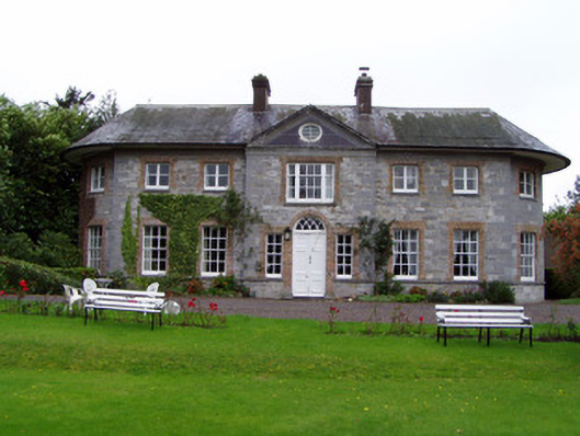 Assolas Housecountry house · 554 yd
 Linkardstown burial in Lisduggan NorthLinkardstown burial · 577 yd
 KilnKiln, unclassified · 592 yd
 European YewEuropean Yew · 605 yd
 Burial ground in AssolasBurial ground · 805 yd
 LisdugganFairy fort / earthen ringfort · 847 yd
 Ballyheen Castle (Site of)Castle, unclassified · 962 yd
 CastleCastle, unclassified · 1.0 mi
 Graveyard in Ballygiblin (duhallow By.)Graveyard · 1.7 mi
 Kanturk CastleHeritage attraction · 2.9 mi
 Hanna SheehyMemorial · 3.0 mi
 St Fursey's WellSpring · 3.1 mi