
What is recorded here
In pasture, atop rise. Circular slightly raised, area (50m E-W; 47m N-S) enclosed by earthen bank (int. H 1.5m; ext. H 1.75m), low to ESE and planted with deciduous trees; external fosse (D 1.35m). Remains of limekiln in bank to ESE; break in bank to E; causewayed entrance (Wth 3m) to W. Fosse area quarried into to SW; shallower to ESE, adjacent to lime kiln occurs in bank. Ringfort (CO023-167---) lies c. 200m to S.
The above description is derived from the published 'Archaeological Inventory of County Cork. Volume 4: North Cork' (Dublin: Stationery Office, 2000). In certain instances the entries have been revised and updated in the light of recent research.
Date of upload/revision: 14 January 2009
A local fairy fort (ringfort/rath); wider significance not recorded.
The monument record does not grant public access. Check the route and ask the landowner before entering private land.
- What survives
- Recorded monument
Places near here
 Fulacht fia in Lisduggan SouthFulacht fia · 238 yd
 Linkardstown burial in Lisduggan NorthLinkardstown burial · 378 yd
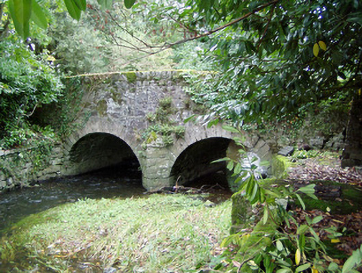 Assolas Bridgebridge · 533 yd
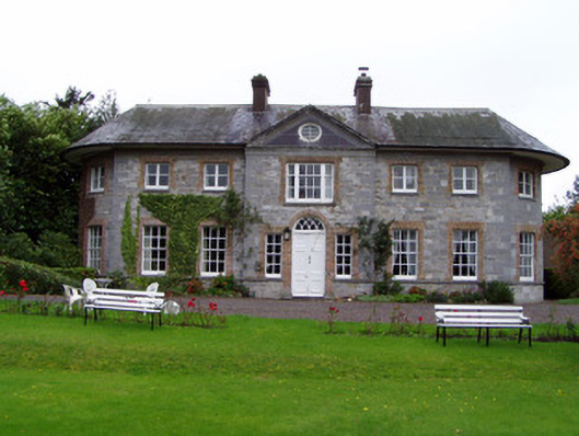 Assolas Housecountry house · 671 yd
 European YewEuropean Yew · 700 yd
 Burial ground in AssolasBurial ground · 1132 yd
 Castle Magner (in Ruins)Bawn · 1393 yd
 Ballyheen Castle (Site of)Castle, unclassified · 1.0 mi
 Graveyard in Ballygiblin (duhallow By.)Graveyard · 1.3 mi
 St Fursey's WellSpring · 3.0 mi
 Kanturk CastleHeritage attraction · 3.2 mi
 Hanna SheehyMemorial · 3.4 mi
Other information
Photo: Credit not shown in the picture search · Rights wording not checked; contact us if this picture should be removed