
What is recorded here
Lisduff is a grass-covered ringfort on a low drumlin ridge in County Leitrim, its earthen bank still standing half a metre high after centuries of rain and foot traffic. The circular space measures twenty-three metres across, large enough for a household but small enough to feel like a chamber built by human hands rather than divine caprice. A second rath waits one hundred and thirty metres west, suggesting neighbours rather than loneliness. The land remembers shape even when memory fades, and these two rings prove that people once drew boundaries on living soil.
Situated on the crest of a low N-S drumlin ridge. This is a grass and rush-covered circular area (int. diam. c. 23m) defined by an overgrown earthen bank (at S: Wth of base 6.85m; int. H 0.5m; ext. H 0.8m), with an external fosse (at S: Wth of base; 1.45m; ext. D 0.1m) SE-W-NE. The rath (LE032-102----) is on a parallel ridge c. 130m to the W.
The above description is derived from 'The Archaeological Inventory of County Leitrim' compiled by Michael J. Moore (Dublin: Stationery Office, 2003). In certain instances the entries have been revised and updated in the light of recent research.
Compiled by: Michael Moore
Date of upload: 23 September 2008
Date of revised upload: 5 December 2019
Lisduff is a circular earthen ringfort, likely dating to the early medieval period, situated on a drumlin ridge and characterized by a grass-covered bank and ditch. Local tradition associates such sites with fairy folk, and the name "Lisduff" may derive from "Lios Dúchfháil," meaning "fairy enclosure of the watchful guardian."
The monument record does not grant public access. Check the route and ask the landowner before entering private land.
- What survives
- Recorded monument
Places near here
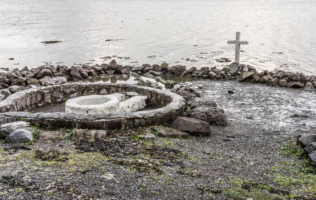 Holy well in AghintoberHoly well · 1166 yd
 LismoyleFairy fort / earthen ringfort · 1415 yd
 Drumsna National Schoolschool · 1.4 mi
 Declaration of IndependenceMemorial · 1.7 mi
 Catholic Church of the Immaculate Conceptionchurch/chapel · 1.8 mi
 Robert Strawbridge MemorialMemorial · 1.9 mi
 Wildlife AreaNature reserve · 2.1 mi
 CastlecarraCastle, unclassified · 3.1 mi
 Leabaidh DermotCave · 3.5 mi
 PortCastle, unclassified · 4.1 mi
 Shannon-Erne WaterwayVisitor information · 4.2 mi
 Moon RiverHeritage attraction · 4.4 mi
Other information
Photo: Credit not shown in the picture search · Rights wording not checked; contact us if this picture should be removed