
What is recorded here
Liscarn is a circular grass-covered orchard on a Monaghan drumlin, marked by a low scarp and shallow fosse rather than a grand ruin. It sits just south of the summit, near Liscarney House, preserving the shape of an old fairy fort without revealing its entrance. The lane cutting through one side suggests people still use the land, perhaps unaware they walk beside a boundary the old stories kept for something else.
Located just S of the summit of a drumlin. This is a circular grass-covered orchard (diam. 41.6m NE-SW; 40m NW-SE) defined by a scarp (at SSW: Wth 2m; H 2m) and an outer fosse (at SSW: Wth of top 8m; Wth of base 5m; ext. D 0.2m) NE-S-NW, but the perimeter is reduced to a shallow fosse (Wth of top 8.5m; int. D 0.5m; ext. D 0.2m) NW-NE and occupied by a lane NE-SE. The original entrance is not identified. Liscarney House is c. 80m to the NE and its farm buildings are just to the NE.
The above description is derived from the published 'Archaeological Inventory of County Monaghan' (Dublin: Stationery Office, 1986). In certain instances the entries have been revised and updated in the light of recent research.
Date of revision: 13 December 2017
Liscarn (Liscarney) is a likely early-medieval ringfort situated on a drumlin, characterized by a circular grass-covered enclosure with a scarp and outer fosse. Local tradition associates such sites with fairy dwellings, and they were often avoided due to beliefs in supernatural inhabitants.
The monument record does not grant public access. Check the route and ask the landowner before entering private land.
- What survives
- Recorded monument
Places near here
 Liscarney WoodWood · 104 yd
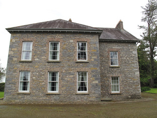 Liscarney Househouse · 126 yd
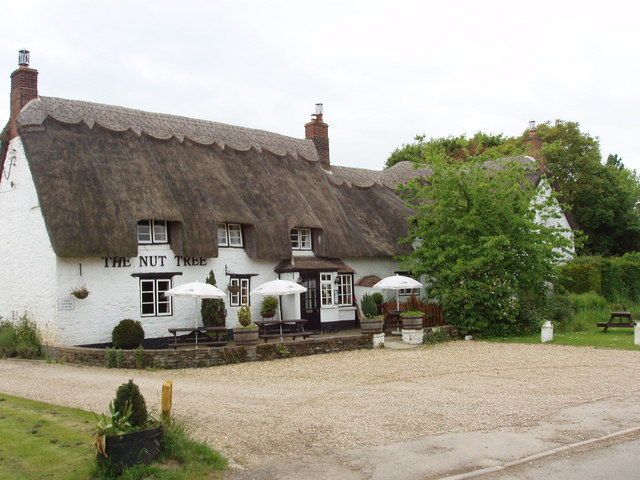 The Nut WoodForest · 326 yd
 CarnCairn, unclassified · 490 yd
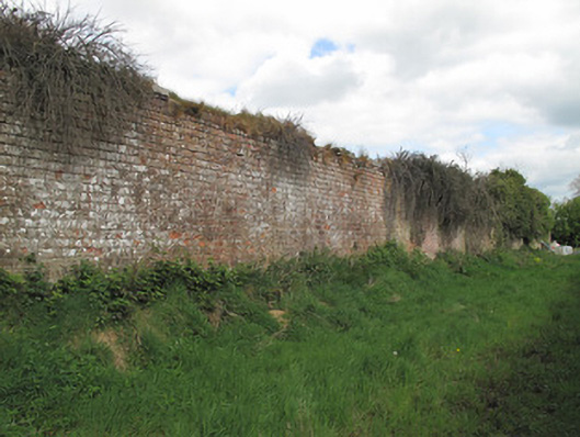 Bessmount Parkwalled garden · 604 yd
 Confession BushRitual site, holy tree/bush · 964 yd
 Monaghan County MuseumMuseum · 1.7 mi
 Rossmore MonumentMemorial · 1.8 mi
 Bawn in Roosky (monaghan By., Monaghan Par.)Bawn · 1.9 mi
 Castleshane WaterfallWaterfall · 3.0 mi
 Banba GiantHeritage attraction · 3.5 mi
 Battle of ClontibretBattlefield · 5.3 mi
Other information
Photo: Credit not shown in the picture search · Rights wording not checked; contact us if this picture should be removed