What is recorded here
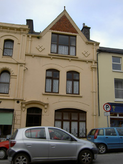
Terraced two-bay three-storey house, built c. 1880, with gablet to top window. Pitched roof with rendered chimneystacks, cast-iron rainwater goods with decorative hopper, and render corbel course. Moulded render barges to gablet with ball finial and having terracotta tiled decorative inset. Painted rendered walls with chevron details in relief flanking top floor window, and render brackets to cast-iron rainwater gutter under same window. Square-headed window opening to top floor, partly within roof space, having moulded render sill and tripartite one-over-one pane timber sliding sash window. Paired camber-headed window openings to first floor with continuous moulded render sill, replacement timber windows, roll moulded render surround and incised arch details above. Segmental-headed opening to ground floor with moulded render sill having decorative cast-iron railings, roll moulded render surround, fixed timber windows and incised arch detail above. Camber-headed door opening with timber panelled door, paned overlight, chamfered and roll moulded render surround and moulded render bracketed cornice above.
The decorative emphasis of the façade of this building make it an unusual and notable feature within Millstreet. A Dutch influence can be seen in the steep gablet to the front façade, and this feature is highlighted by the tiled decoration, which adds variety of texture and materials to the site and to the street. The rainwater goods are very unusual and are notable for their inclusion as a decorative feature within the façade. The variety of openings and styles in the building adds to and enlivens the appearance.
This does not grant access. Most recorded buildings are privately owned; view them only from public ground unless the owner allows entry.
Places near here
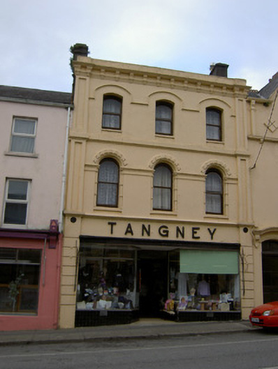 Tangneyhouse · 6 yd
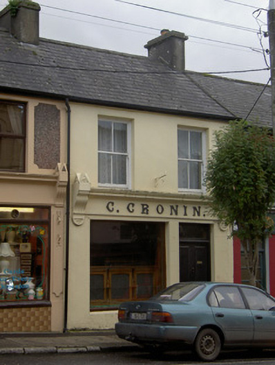 C. Croninhouse · 25 yd
 Millstreet Tourist InformationVisitor information · 282 yd
 St. Patrick's ChurchVisitor information · 320 yd
 Millstreet Museum & Tourist Information CentreMuseum · 398 yd
 Burial GroundBurial ground · 1073 yd
 Lackabane Standing StoneArchaeological place · 1328 yd
 RowanRowan · 1654 yd
 Castle and TurretCastle, tower house · 1.3 mi
 Claragh MountainMountain / peak · 1.6 mi
 Kilmeedy CastleCastle, tower house · 1.7 mi
 CurracahillMountain / peak · 3.3 mi
Other information
Photo: National Inventory of Architectural Heritage · Website use allowed for educational or private purposes with source credit