What is recorded here
In pasture, on a gentle W-facing slope. An oval mound (H 0.4m; 11.4m N-S; 8m E-W) of burnt material.
Compiled by: Denis Power
Date of upload: 26 August 2011
The monument record does not grant public access. Check the route and ask the landowner before entering private land.
- What survives
- Recorded monument
Places near here
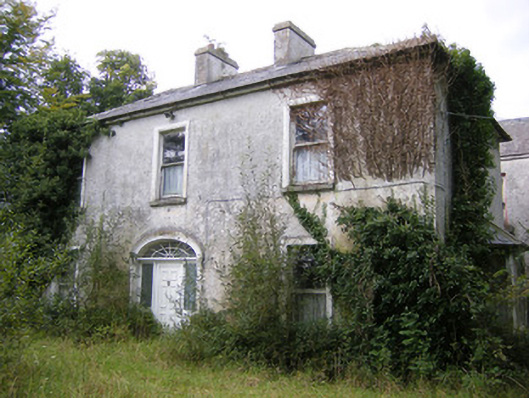 Ballysteen Housecountry house · 302 yd
 IndicatedFairy fort / earthen ringfort · 493 yd
 Grave YardGraveyard · 670 yd
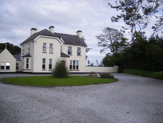 The Presbyteryhouse, presbytery/parochial/curate's house · 1709 yd
 Site of CastleCastle, unclassified · 1755 yd
 CastleCastle, unclassified · 1.1 mi
 St. Luke's WellSpring · 2.5 mi
 St. Kieran's WellSpring · 3.0 mi
 Askeaton CastleHeritage attraction · 5.0 mi
 Foynes Flying Boat & Maritime MuseumMuseum · 5.1 mi
 Foynes Island ViewpointViewpoint · 5.3 mi
 Holly IslandIslet · 5.3 mi