What is recorded here
Aerial photograph (GB89.AF.32) shows cropmark of a complex enclosure incorporating a cross (KD032-030001-) and a possible burial ground (KD032-030002-). A rectilinear enclosure, with rounded corners, incorporates a circular enclosure in the NE segment with a dense positive cropmark suggesting the foundations of a building. An outer fosse runs parallel to the southern boundary of the rectilinear enclosure defining an outer annexe, and two short fosses extend NW from the enclosure. The cross is located close to the inner circular enclosure.
Digital Globe photographic evidence indicates that the cross stands in the S quadrant of a small circular enclosure (approx. diam. 37m) which lies in N quadrant of a larger ecclesiastical enclosure (KD032-030003-) the cropmarks of which are clearly visible on Digital Globe aerial photographs. The small circular enclosure may represent the enclosing element of a small burial ground (KD032-030001-). The linear cropmark of a possible roadway running E-W into the outer enclosure is visible at NW quadrant.
See attached image of Google Earth photographs taken 28/06/2018 which shows cropmark of the two circular enclosures based on information supplied by Anthony Murphy
Compiled by: Gearóid Conroy
Revised by: Caimin O'Brien
Date of revised upload: 19 February 2019
The monument record does not grant public access. Check the route and ask the landowner before entering private land.
- What survives
- Recorded monument
Places near here
 CrossCross · 26 yd
 Narraghmore Nature ReserveForest · 568 yd
 RathglassEnclosure · 1272 yd
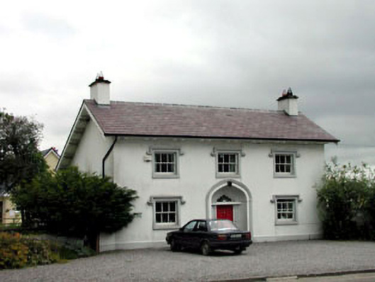 surgery/clinicsurgery/clinic · 1440 yd
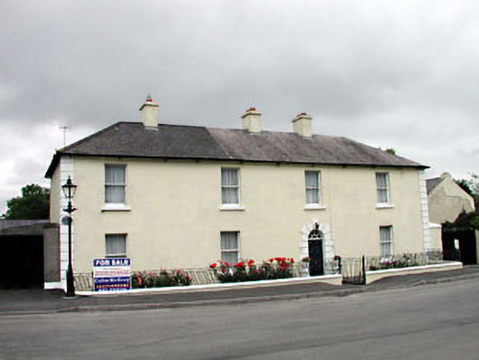 Historic buildingOfficially recorded historic building · 1448 yd
 Blackhall CastleCastle, tower house · 1.0 mi
 Narraghmore WoodWood · 1.4 mi
 Battle of Kilrushbattle · 2.4 mi
 Castle (in Ruins)House, fortified house · 2.7 mi
 Burtown House and GardensHeritage attraction · 4.4 mi
 Gorden Bennet Race memorialMemorial · 4.7 mi
 History of Moat of ArdscullVisitor information · 4.7 mi