What is recorded here
Rathbaun is a square medieval ringfort in Ballyhurst, County Limerick, preserving a 38-metre earthen defence beside the Knockballyfookeen boundary. Cattle have cut new gaps through its ancient bank, yet the fort still stands as a working farmstead marker in the reclaimed pasture. It is the kind of place where human hands kept shaping the same earth long after its first builders left it.
Rathbaun is recorded as a archaeological place in County Limerick. Its open map record supplies this location and any linked names or public references.
Places near here
 Rathbaun, HachuredFairy fort / earthen ringfort · 2 yd
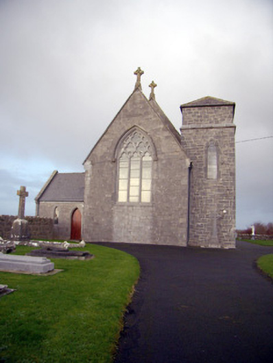 Catholic Church of Our Lady of the Assumptionchurch/chapel · 71 yd
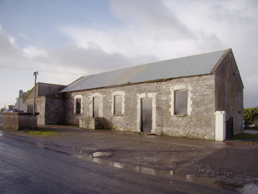 Bulgaden Creamerycreamery · 177 yd
 Bulgaden Castle (in ruins)Castle, tower house · 782 yd
 Grave YardGraveyard · 1075 yd
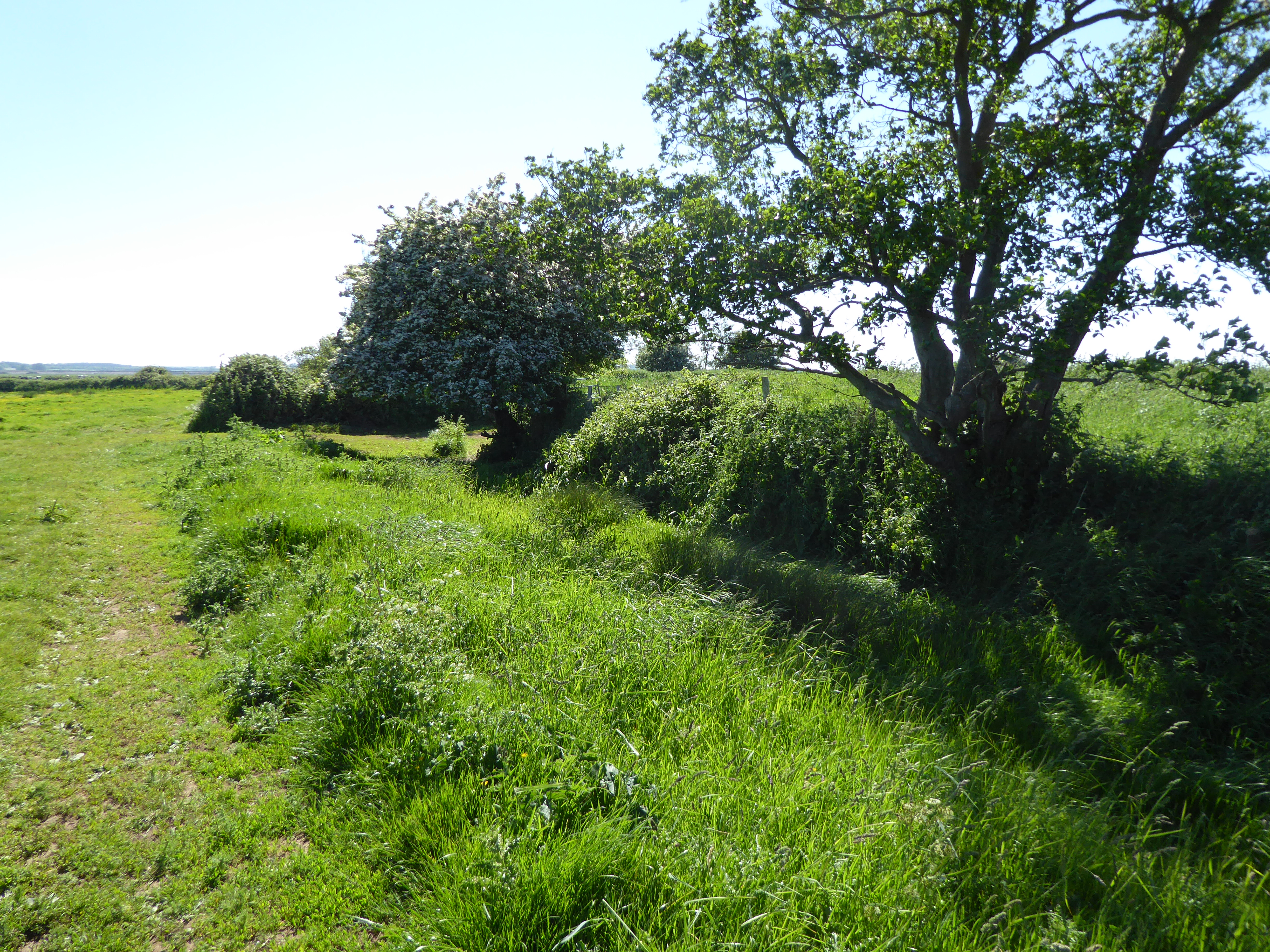 Site of Bulgaden HallCastle, unclassified · 1601 yd
 Kilmallock AbbeyHeritage attraction · 2.0 mi
 King John's CastleCastle · 2.1 mi
 St Bridget's WellSpring · 3.2 mi
 Ballinvreena LoopVisitor information · 4.5 mi
 KnockainyMountain / peak · 4.9 mi
 Ballyhoura tourist informationVisitor information · 4.9 mi