What is recorded here
Fairy forts are human works misread through awe, and this is one: an oval earthwork on the south-facing slope above Lickeen Lough in Lickeen East. Its banks are low now, partly dug away or hidden by fields, but the shape remains clear enough to see as a made place rather than a random heap. People may have lived, gathered or marked territory there before the fort became a fairy name. The lake, grass and higher ground still surround it, keeping the old line visible only when looked for.
On the S-facing slopes of the N shore of Lickeen Lough in an area of uncleared rough grazing with good views to the S but overlooked by higher ground elsewhere. Hachured on the 1916 OS 6-inch map. Listed as ‘enclosure’ in the RMP (1996). An oval area (44m N-S; 39.5m E-W) defined from N to S by a low scarp (max. H 0.2m) and from S to N by an inner bank, a berm and an outer bank. The inner bank is best preserved at its N and S extents (Wth c. 2m; H 0.2m) and is reduced to a scarp elsewhere. The berm (Wth 3.5m) is widest at NNW. The outer bank (Wth 2.5m; H 0.4m) is best preserved at SW and N and has been dug away at NW. At N there is a potential causeway, the E part of which has been truncated by a field boundary. The interior slopes gently to the S and two parallel field boundaries orientated N-S form a narrow field (Wth 3-7m), planted with trees.
Compiled by: Mary Tunney and Lynda McCormack
Date of upload: 25 May 2022
A fairy fort or earthen ringfort in Lickeen East, likely an early-medieval agricultural or defensive site, is marked as an "enclosure" on the 1916 Ordnance Survey map. Local tradition associates such sites with fairy folklore, and the location's hachured appearance suggests a man-made earthwork possibly linked to early settlement patterns in the region.
The monument record does not grant public access. Check the route and ask the landowner before entering private land.
- What survives
- Recorded monument
Places near here
 Enclosure in KilcarraghEnclosure · 1388 yd
 CaherycoosaunFairy fort / earthen ringfort · 1413 yd
 CastleCastle, unclassified · 1.1 mi
 Penitential station in CahersherkinPenitential station · 1.6 mi
 Fort Ho.Bawn · 1.7 mi
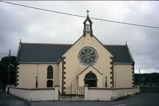 Saint Fachanan's Catholic Churchchurch/chapel · 1.8 mi
 Burren Centre KilfenoraVisitor information · 1.9 mi
 High CrossHeritage attraction · 1.9 mi
 Kilmanahn GraveyardRuins · 3.6 mi
 Famine MemorialMemorial · 3.6 mi
 Ballyteigue Nature ReserveNature reserve · 4.3 mi
 Lahinch BeachBeach / strand · 5.2 mi