
What is recorded here
On top of a slight rise in marshy pasture c.130m SW of a small stream which forms the townland boundary. Hachured and named ‘Caherycoosaun’ on the 1916 ed. OS 6-inch map. Listed as 'Ringfort - cashel' in the RMP (1996). Noted by Westropp (1910, 150) among a group of named cathairs near Kilshanny surviving only as ‘absolutely defaced remains, sometimes all trace gone’. A bivallate rath (c. 54m N-S; c. 60m E-W) comprising a subcircular area (22m N-S; 21m E-W) defined by a low earthen scarp (H 0.1m), a fosse (Wth 4-5m; D 0.1m), and a round-topped earthen bank (Wth 3m; H 0.25m). The inner scarp peters out to the SE and it is concealed by rushes to the N. A 2m wide lowering of the scarp at the S may be the remains of the original entrance, while a gap at the NNE appears to be modern and leads to a farm track. The interior is slightly undulating and highest in the centre. It is covered in rushes. No internal features are visible.
Reference:
Westropp, T. J. 1910 Notes on the antiquities around Kilfenora and Lehinch, Co. Clare, part III. North Munster Archaeological Society 1, 147-59.
Compiled by: Mary Tunney and Eve Campbell
Date of upload: 10 July 2023
Caherycoosaun is a ringfort or cashel, likely dating to the early medieval period, situated on a slight rise in marshy pasture. It is associated with the name 'Caherycoosaun,' which may reflect a local tradition or historical settlement, though specific folklore or detailed history is not recorded.
The monument record does not grant public access. Check the route and ask the landowner before entering private land.
- What survives
- Recorded monument
Places near here
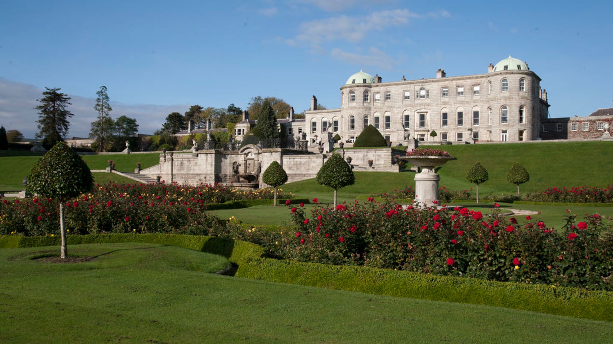 CaherphreeghaunFairy fort / stone ringfort · 1738 yd
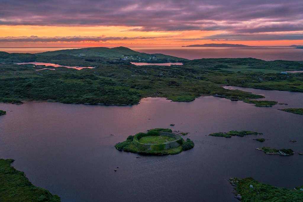 Doon FortHilltop enclosure · 1.1 mi
 Kilshanny Church (in ruins)Religious house, Augustinian canons · 1.3 mi
 Smithstown Castle (in ruins)Castle, tower house · 1.5 mi
 CastleCastle, unclassified · 1.9 mi
 Saint Augustine's Catholic Churchchurch/chapel · 1.9 mi
 Burren Centre KilfenoraVisitor information · 2.2 mi
 High CrossHeritage attraction · 2.2 mi
 Kilmanahn GraveyardRuins · 3.1 mi
 Famine MemorialMemorial · 3.2 mi
 Ballyteigue Nature ReserveNature reserve · 3.8 mi
 Lahinch BeachBeach / strand · 4.7 mi
Other information
Photo: Credit not shown in the picture search · Rights wording not checked; contact us if this picture should be removed