What is recorded here
Fairy fort / earthen ringfort in Leny is a fairy fort or earthen ringfort in Leny, County Westmeath, Ireland. This circular area, which has a north-south diameter of 20 meters, sits on a steep southeast-facing slope of a high hill in grassland. A substantial earthen bank encloses the site, though it is best preserved from southwest to north and has a possible entrance gap 1.2 meters wide at the northeast. The interior features a steep slope running from west-northwest to east-southeast, while marshy ground lies 90 meters to the south.
Situated on steep SE facing slope of a high hill in grassland with good views to E &S, marshy ground 90m to S. Ringfort (WM011-022---) 90m to W. A circular shaped area (approx. diam. 20m N-S) enclosed by a substantial earthen bank with possible entrance gap (Wth 1.2m) at NE. The bank has several disturbance gaps and is best preserved from SW-N, elsewhere almost completely levelled. The interior has a steep slope from WNW-ESE.
See attached profile of monument surveyed and drawn by the ASI.
Compiled by: Frank Coyne and Caimin O'Brien
Date of upload: 14 June 2017
The monument record does not grant public access. Check the route and ask the landowner before entering private land.
- What survives
- Recorded monument
Places near here
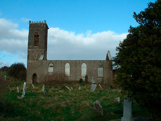 Bunbrosna Church (Leny)church/chapel · 489 yd
 Ecclesiastical enclosure in LenyEcclesiastical enclosure · 513 yd
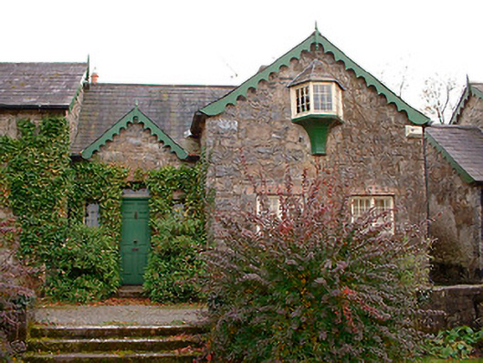 Wilson's Hospitalworker's house · 677 yd
 Partially indicatedFairy fort / earthen ringfort · 1018 yd
 Carrick CastleCastle · 1160 yd
 Castle Quarter, Castle (in ruins)Castle, unclassified · 1.1 mi
 Bridge Memorial (Kenna)Memorial · 1.9 mi
 Baronstown ForestWood · 3.4 mi
 Horse-chestnutHorse-chestnut · 3.5 mi
 Carrickphilbin IslandIslet · 3.5 mi
 Srudarra IslandIslet · 4.1 mi
 Rock of CurryCliff · 9.2 mi