What is recorded here
In the S half of Lough Bannow. Marked on the 1914 ed. of the OS 6-inch map as a small, irregularly shaped island (diam. c. 15m). When visited the lake was a swamp full of man-sized reeds and sally trees. Despite a thorough search it was not located. Another possible crannog (LF017-005----) lies c. 75m to the NNW.
Compiled by: Christina Fredengren
Date of upload: 26 August 2011
The monument record does not grant public access. Check the route and ask the landowner before entering private land.
- What survives
- Recorded monument
Places near here
 IndicatedCrannog · 85 yd
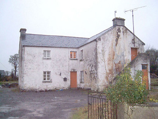 schoolschool · 988 yd
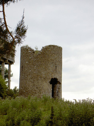 mill (wind)mill (wind) · 1.1 mi
 Big FortFairy fort / earthen ringfort · 1.2 mi
 Commons North WalkVisitor information · 1.4 mi
 Wild birdsVisitor information · 1.5 mi
 White Sand WoodWood · 1.6 mi
 Ballyclare IslandIslet · 2.0 mi
 Rathcline CastleBawn · 2.0 mi
 Goat's IslandIslet · 3.7 mi
 Caltragh CastleCastle, unclassified · 4.7 mi
 Slieve BawnMountain / peak · 5.9 mi