What is recorded here
Situated on a rise on a SW-facing slope. A small subcircular enclosure (dims c. 31m NE-SW; c. 28m NW-SE) defined by a fosse (Wth c. 2-3m) is visible on Apple Maps (2018), but the perimeter is not readily traceable SW-NNW. It is also visible on OSI images (1995), Google Earth (July 2013) and Digital Globe (2013), and it was first reported by Jean Charles Caillere.
See the attached enhanced view from Apple Maps (2018)
Compiled by: Michael Moore
Date of upload: 24 June 2021
The monument record does not grant public access. Check the route and ask the landowner before entering private land.
- What survives
- Recorded monument
Places near here
 Enclosure in LeggaghEnclosure · 200 yd
 MoatArchaeological place · 682 yd
 Fox CovertWood · 1638 yd
 Castletown TrailMemorial · 1719 yd
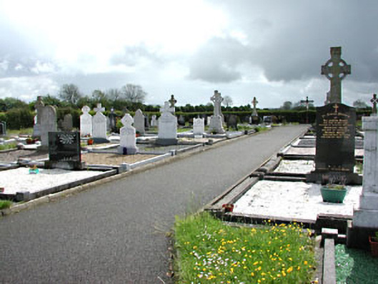 Castletown New Cemeterygraveyard/cemetery · 1.1 mi
 Little Decoy WoodWood · 1.6 mi
 Castletown FortCastle, motte and bailey · 1.7 mi
 Drakerath CastleCastle, unclassified · 2.5 mi
 HeadstownMountain / peak · 2.7 mi
 Mullagha HillMountain / peak · 3.1 mi
 Nobber GreenwayMemorial · 4.4 mi
 Owenroe and Moynalty DrainageMemorial · 4.5 mi
Other information
Photo: Credit not shown in the picture search · Rights wording not checked; contact us if this picture should be removed