
What is recorded here
Situated on a knoll that is on a gentle S-facing slope. The cropmark of a subrectangular enclosure (dims c. 40m ENE-WSW; c. 35m NNW-SSE) defined by a slight fosse is visible only on Apple Maps (2018). It may have an internal enclosure (diam. c. 15m) and both enclosure are cut but a NW-SE field bank. It was first reported by Jean Charles Caillére.
See the attached enhanced view from Apple Maps (2018)
Compiled by: Michael Moore
Date of upload: 6 July 2021
A local fairy fort (ringfort/rath); wider significance not recorded.
The monument record does not grant public access. Check the route and ask the landowner before entering private land.
- What survives
- Recorded monument
Places near here
 MoatArchaeological place · 881 yd
 Fox CovertWood · 1.0 mi
 Castletown TrailMemorial · 1.1 mi
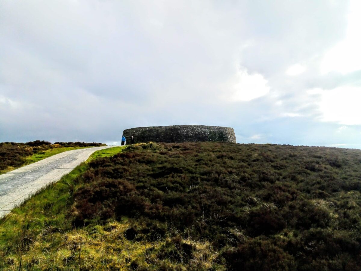 Rahards FortArchaeological place · 1.1 mi
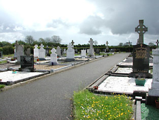 Castletown New Cemeterygraveyard/cemetery · 1.2 mi
 Little Decoy WoodWood · 1.7 mi
 Castletown FortCastle, motte and bailey · 1.8 mi
 Drakerath CastleCastle, unclassified · 2.6 mi
 HeadstownMountain / peak · 2.7 mi
 Mullagha HillMountain / peak · 3.0 mi
 Nobber GreenwayMemorial · 4.5 mi
 Owenroe and Moynalty DrainageMemorial · 4.6 mi
Other information
Photo: Credit not shown in the picture search · Rights wording not checked; contact us if this picture should be removed