What is recorded here
In the SW quadrant of Caherscreebeen (CL016-020026-). Westropp (1900-2, 431) noted that the cashel had ‘traces of enclosures, and two Man-made underground passages’ and he included two ‘caves’ in his plan (1913, 255). He did not mention a second Man-made underground passage in his main description of the site (1896, 368). As the two ‘caves’ on his plan are fairly close together it may represent another part of the one Man-made underground passage noted on inspection in 1997. That comprised a short undifferentiated passage aligned SSW-NNE (L 3.05m; max. Wth 1.47m; max. H 1.68m). It was accessed through an opening close to the inner wall of the cashel and extended NNE terminating at a shallow stone bench (T 0.3m; H 0.5m). The walls are corbelled inwards from the bottom and the passage is roofed with four stone lintels. The cashel also contains a house site (CL016-020038-).
Compiled by: Mary Tunney and Eve Campbell
Date of upload: 28 March 2023
The monument record does not grant public access. Check the route and ask the landowner before entering private land.
- What survives
- Recorded monument
Places near here
 CaherscreebeenFairy fort / stone ringfort · 16 yd
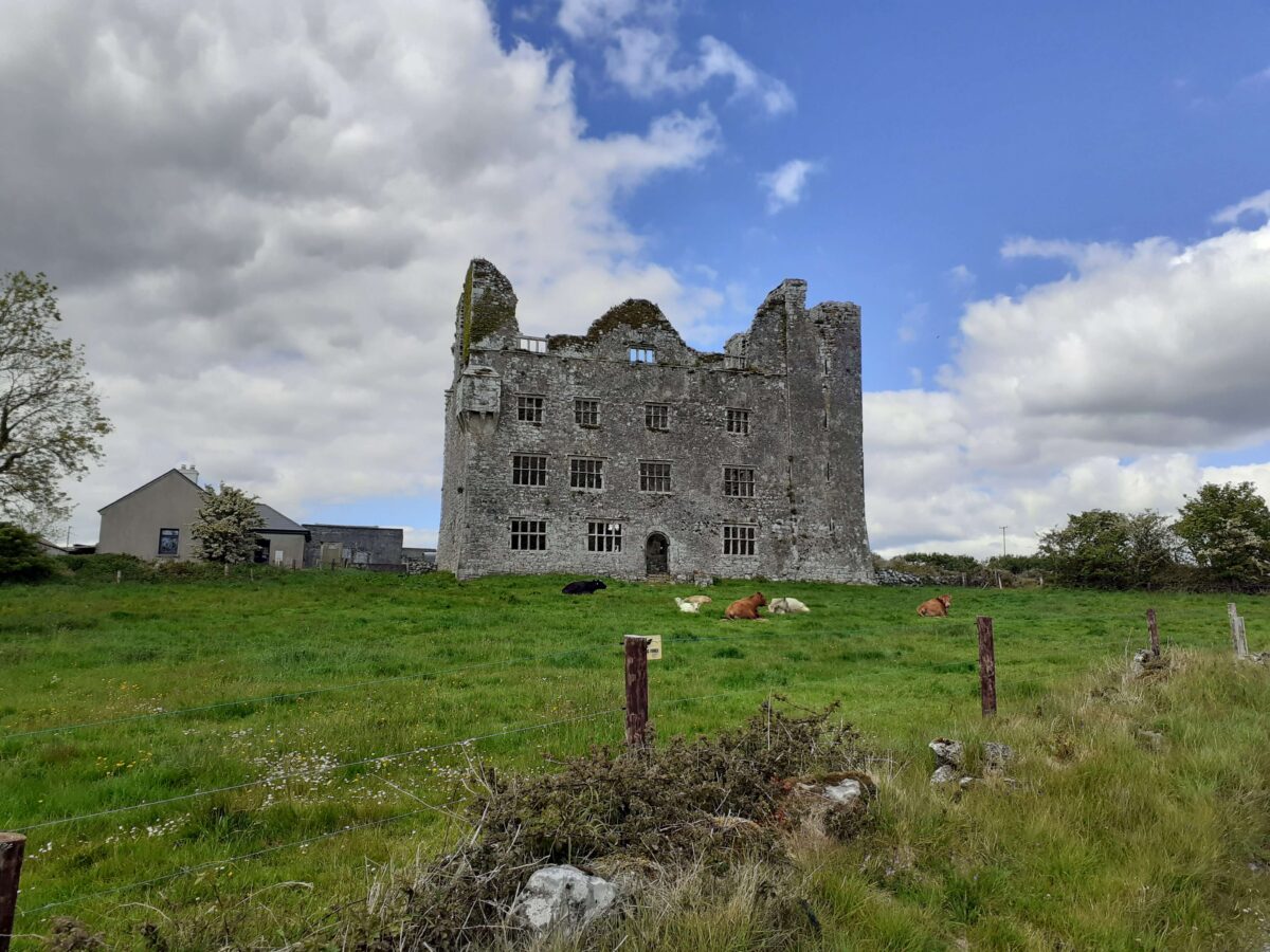
 Leamaneh Castle (in ruins)House, fortified house · 336 yd
 Leamaneh CastleCastle · 336 yd
 Enclosure in Leamaneh SouthEnclosure · 465 yd
 Fergus River CaveCave · 1.5 mi
 Kiltoraght Church (in ruins)Church · 1.6 mi
 Kiltonaghty Church (in ruins)Church · 2.0 mi
 Farbrega RockNamed rock · 2.3 mi
 Burren Centre KilfenoraVisitor information · 3.0 mi
 High CrossHeritage attraction · 3.0 mi
 Cave of the Wild HorsesCave · 3.5 mi
 Inchiquin IslandIslet · 3.5 mi