
What is recorded here
In a lowlying area inclined to flood, in the field immediately S of the road opposite Leamaneh castle (CL016-032002-). A subrectangular area (24m N-S; 32m E-W) defined SW-NE by a curving dry fosse (Wth 10-11m; D 0.7-1m) and at S by a wide shallow dip (Wth 8m; D 0.2m). At E there is a straighter earthen bank (Wth 8m; int. H 0.8m; ext. H 0.9m), an outer fosse (Wth 3m; D 0.6m), and an outer bank (Wth 6m; H 0.4m). A stone lined pond (15m N-S; 8m E-W) lies E of the E side and the outer bank may be spoil from cleaning the pond. Some damage to the N end of the E side has resulted in spoil being dumped into the fosse itself. The interior is level with the surrounding ground.
The following image has been uploaded:
CL016-032006-_01.jpg Aerial view from E.
Compiled by: Mary Tunney
Date of upload: 4 December 2018
A local fairy fort (ringfort/rath); wider significance not recorded.
The monument record does not grant public access. Check the route and ask the landowner before entering private land.
- What survives
- Recorded monument
Places near here
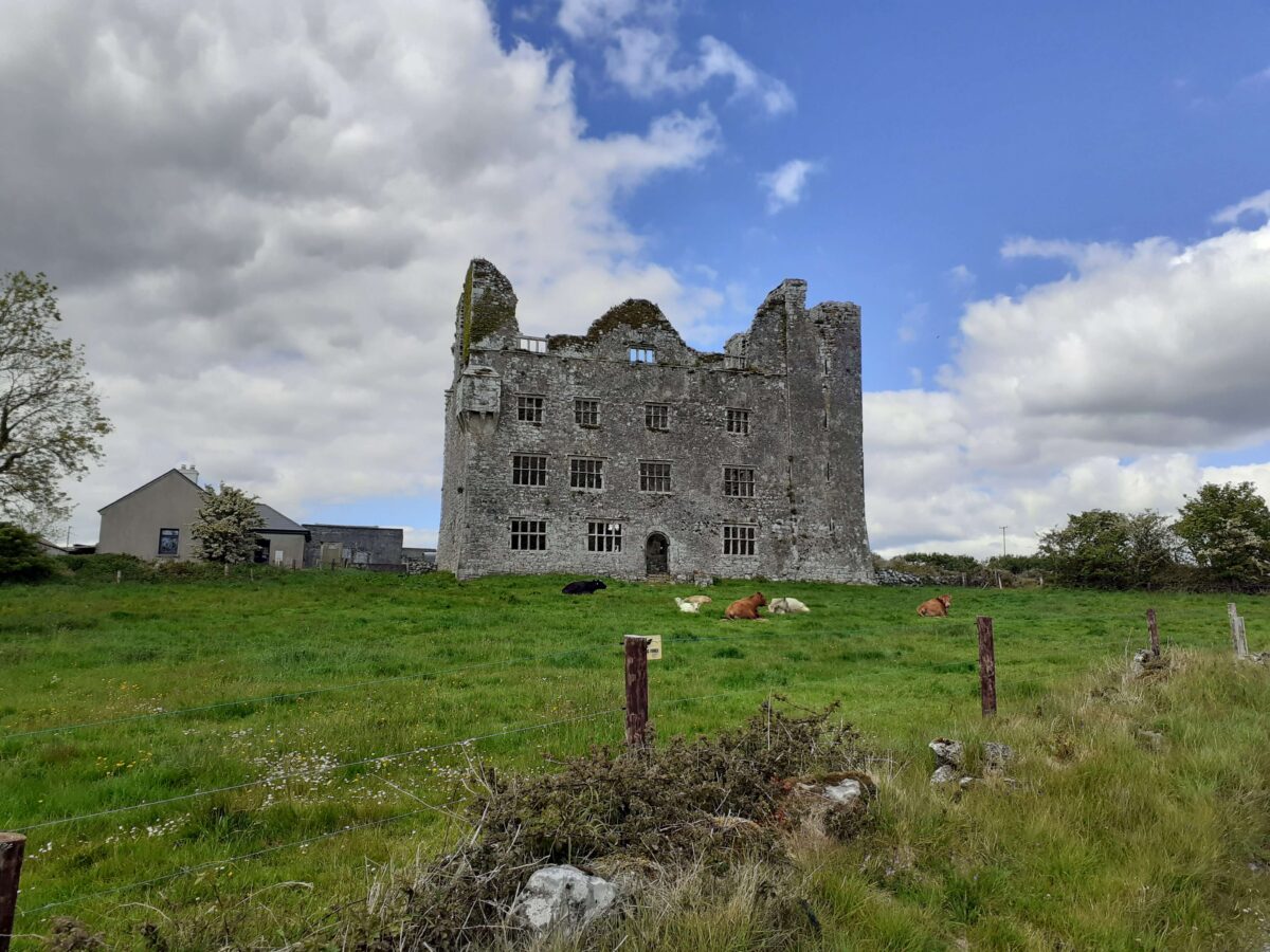
 Leamaneh Castle (in ruins)House, fortified house · 182 yd
 Leamaneh CastleCastle · 183 yd
 CaherscreebeenFairy fort / stone ringfort · 468 yd
 Enclosure in Leamaneh NorthEnclosure · 614 yd
 Fergus River CaveCave · 1.3 mi
 Kiltoraght Church (in ruins)Church · 1.5 mi
 Saint Attracta's Catholic Churchchurch/chapel · 2.0 mi
 Farbrega RockNamed rock · 2.4 mi
 Burren Centre KilfenoraVisitor information · 3.2 mi
 High CrossHeritage attraction · 3.2 mi
 Inchiquin IslandIslet · 3.3 mi
 Rock IslandIsland · 3.4 mi
Other information
Photo: Credit not shown in the picture search · Rights wording not checked; contact us if this picture should be removed