What is recorded here
Indicated is a vanished crannog on Lough Donogher in County Leitrim. It left behind quernstones now kept in the National Museum of Ireland, while the water itself has taken back the island, decks and rooms where people once stood.
Just off the S end of the NE shore of the triangular Lough Donogher (max. dims c. 700m NW-SE: c. 500m NE-SW), which has its apex at NW. A small island (diam. c. 5m) is depicted only on the 1909 edition of the OS 6-inch map. Some quernstones from Lavareen townland, probably from this feature, were acquired by the National Museum of Ireland (Lucas 1957, 132). However, there is no visible evidence of a crannog in this area of Lough Donogher.
Compiled by: Michael Moore
Date of upload: 16 January, 2017
The monument record does not grant public access. Check the route and ask the landowner before entering private land.
- What survives
- Recorded monument
Places near here
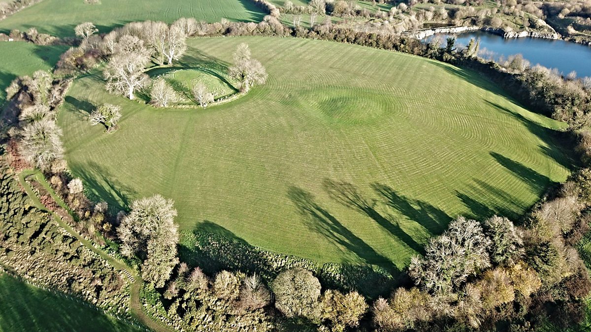 Fairy fort / earthen ringfort in Aghalough (carrigallen By., Aghavas Ed)Fairy fort / earthen ringfort · 616 yd
 Holy well in KillyfeaHoly well · 872 yd
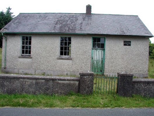 Gortachoosh National Schoolschool · 1.9 mi
 Saint Columba's Church (Drumreilly)church/chapel · 2.0 mi
 Swan Island pet farmHeritage attraction · 3.6 mi
 King's GraveArchaeological place · 4.0 mi
 European YewEuropean Yew · 4.2 mi
 Crane IslandIslet · 4.2 mi
 BatteryBawn · 4.2 mi
 Sessile OakSessile Oak · 4.3 mi
 DrummuckerMountain / peak · 4.3 mi
 Giant's GraveArchaeological place · 4.3 mi