What is recorded here
Indicated is a hidden circular fort in County Cavan, marked on old surveys but no longer visible at ground level. Davies measured a twenty-three-metre area bounded by a low bank, shallow ditch and steep scarp, with a western break likely forming the entrance. It sits beside a stream in wet infertile soil, suggesting people shaped a small defensible place where the land resisted ordinary use.
Marked 'Fort' on OS 1836 and 1876 eds. Davies (ITA Survey 1942) recorded a subcircular area (int. diam. 23.7m) bounded by a low earthen bank and a shallow fosse at W and NW and elsewhere by a steep scarp. He described a break in the bank and fosse at W which he speculated was probably the original entrance. Situated adjacent to a stream in wet infertile ground. Not visible at ground level.
The above description is derived from the published 'Archaeological Inventory of County Cavan' (Dublin: Stationery Office, 1995). In certain instances the entries have been revised and updated in the light of recent research.
Date of upload/revision: 22 December 2008
The monument record does not grant public access. Check the route and ask the landowner before entering private land.
- What survives
- Recorded monument
Places near here
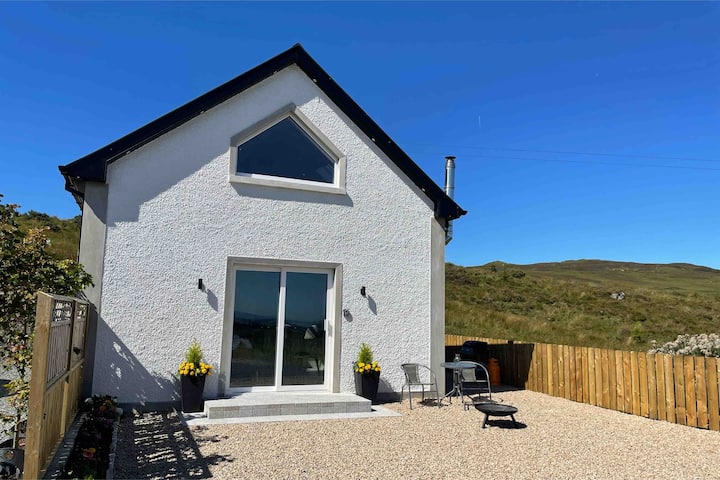 Drumkeen House WoodlandWood · 1200 yd
 Church in Keadew (cavan Rural & Urban)Church · 1386 yd
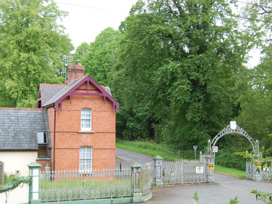 Saint Patrick's Catholic Collegegate lodge · 1406 yd
 Ice HouseArchaeological place · 1492 yd
 IndicatedFairy fort / earthen ringfort · 1558 yd
 BillisMountain / peak · 1595 yd
 GrottoWood · 1.7 mi
 Owen Roe O'Neill graveMemorial · 1.8 mi
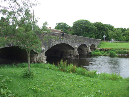 Derrygarra UpperMountain / peak · 1.8 mi
 CastleCastle, unclassified · 1.9 mi
 Rambling at Farnham EstateVisitor information · 2.2 mi
 Bawn in FarnhamBawn · 2.2 mi